2. Chart Plotter
2-21
Sea surface temperature range: Change the color of the track with change in
sea surface temperature. Set a limit for each color. For example, if the default set-
ting for white is 41.0°F, the track is white for temperatures up to 41.0°F.
Sea surface temperature variation: Paint the track in a different color when the
sea surface temperature changes by the figure set here. If the setting is +00.20°F,
for example, the color of the track changes when the temperature of the sea sur-
face changes by +00.20°F.
Date: The track color changes at the turn of a new day.
7. Press the MENU key to close the menu.
Note: For [Depth range], [Sea surface temperature range] and [Speed], track is shown
in red for values higher than their largest setting.
2.11.5 How to Clear the Active Track
If the screen becomes full of track you can not know which is the newer track. Clear
the track you do not need.
1. Press the MENU key to open the menu.
2. Open the [Ship & Track] menu.
3. Use the RotoKey to select [Clear Active Track] then push the key. You are asked
if you are sure to reset the track.
4. Rotate the RotoKey to select [Yes] then push the key to erase the track.
5. Press the MENU key to close the menu.
2.11.6 How to Save Active Track
Your equipment saves a maximum of 10,000 track points. When the capacity for track
points is reached, the oldest track is erased to clear space for the newest track. For
that reason you can save your track, to the Track list. You can replay saved tracks to
use the tracks to create a route.
1. Press the MENU key to open the menu.
2. Open the [Ship & Track] menu.
3. Use the RotoKey to select [Save Active Track]. You are asked to enter a name
for the track.
You can select a name you have used, but the data saved under that name is
erased.
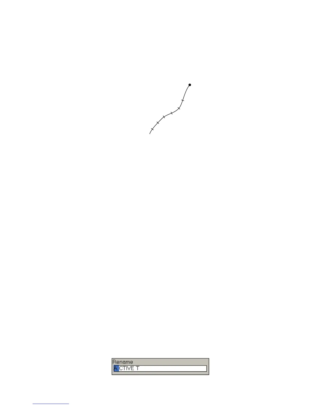
Own Ship
Dark blue
Red
Yellow
Green
Purple
Dark blue
19.0
18.8
18.6
18.4
18.2
18.0
°
F
Depth steadily
increasing.