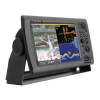
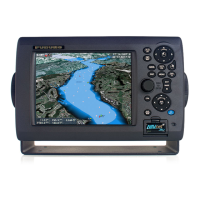
2. Chart Plotter
2-10
Name: Show or hide geographic names.
Shallow Contour: Show shallow depth contours in dark blue.
Safety Contour: Show safety depth contours in medium blue.
Deep Contour: Show deep depth contours in light blue. Depths greater than 1800 feet
are shown in white.
Traffic Routes: Show or hide traffic routes.
Display Routes Bearings: Show or hide route bearings.
Soundings: Show or hide depth soundings.
Display Soundings in Red: Spot soundings whose depths are lower than the value
set here are shown in red.
Display Obstructions Depth Below Safety: Show or hide obstruction depths under
the safety depths.
Seabed: Show or hide seabed composition indication, for example, mud, sand, rock.
2.9.2 Control Visibility of Cartographic Objects
The [Chart-Custom Config] menu controls the visibility of cartographic objects, for ex-
ample, lights, fog signals, etc.