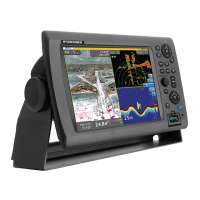
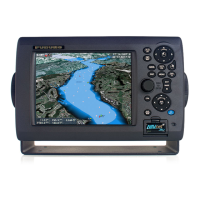
2. Chart Plotter
2-11
Chart-config menu description
S-52 Vector Chart Display Mode: Set the level of information to show on the chart.
The selections are [Basic], [Standard], [Other], [Fishing], [Custom], and [Default]. The
chart features are turned on or off according to setting.
Unknown Object: Unknown objects that appear on the chart.
Chart Data Coverage: Geographic names and geographic objects.
Bottom Features: Improved seabed presentation.
Traffic Routes: Marine traffic routes.
Cautionary Areas: Cautionary areas that appear on the chart.
Information Areas: Information areas that appear the chart.
Buoys & Beacons: Buoys and beacons.
Lights: The sector of light that a fixed beacon shines.
Fog Signals: A structure that sends a fog signal.
Radar: Radar buoy
Quality of Data: Quality of data indicator.
Obstructions: Obstructions (wrecks, etc.)
Depth Contours & Currents: Lines that indicate depth contours and currents.
Fishing Facilities:Show location of fishing facilities.
Shipping Facilities:Show location of shipping facilities.
Harbour Facilities:Show location of harbour facilities.
Small Craft Services: Services for small craft.
Land Features: Cartographic features that are shown on land.