190-01115-01 G3X™/G3X Touch™ Avionics Installation Manual
Rev. AV Page 30-175
Aircraft Max Speed: Enter aircraft maximum speed.
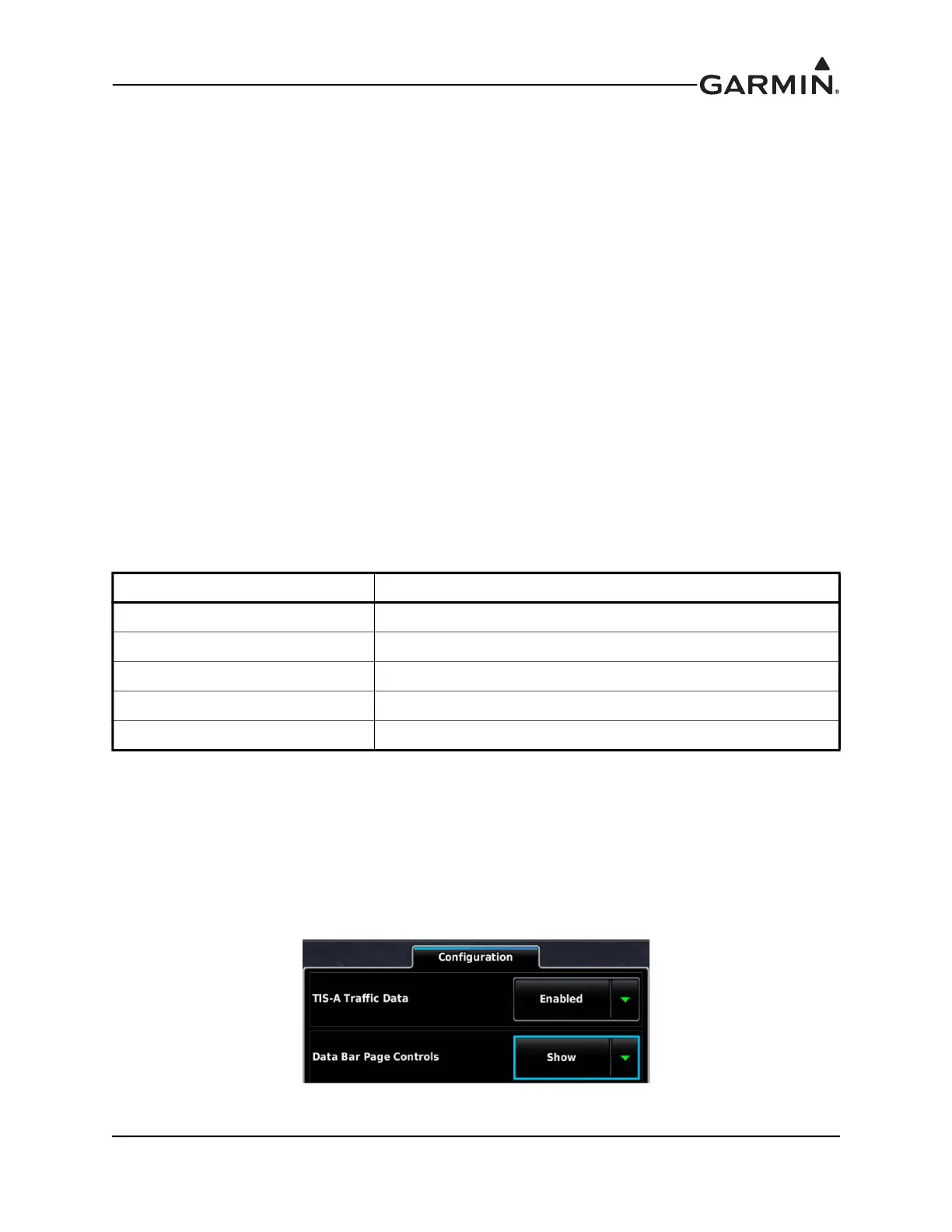
TIS-A Traffic Data: Can be set to Enabled or Disabled, as applicable. Controls only if traffic information
will be displayed, it does not affect whether the transponder will output traffic data.
Enhanced Surveillance: GTX 23/23ES/33/33ES only. Sets Enhanced Surveillance (EHS) to DISABLE
or ENABLE. ENABLE is the default. When EHS is set to DISABLE the BDS (refer to the applicable
transponder installation manual for BDS information) items that are marked “EHS Only” are not active (no
enhanced surveillance).
Antenna Diversity: GTX 335D, GTX335DR, GTX 345D, GTX345DR only. When set to ENABLED,
dual transponder antennas are active.
Antenna Cable Loss - GTX 335D, GTX335DR, GTX 345D, GTX345DR only. Cable loss across antenna
cables to each antenna in a diversity installation, top and bottom.
VFR Code: This field is the four-digit code that is selected when the user presses the VFR key. In the
United States, 1200 is the VFR code for any altitude. The default is set to 1200.
HSDB Devices: This field is only available when Transponder Type is configured for a GTX 345, 345R,
or 45R. Used to select which device(s) the GTX will communicate with (GTN and/or GTS) by HSDB.
RS-232 Ports 2-4: GTX 35R/45R/335R/345R units only.
The available selections are:
Aircraft Length: Enter Aircraft Length.
Aircraft Width: Enter Aircraft Width.
GPS Antenna Offset: Enter the distance from the nose of the aircraft to the GPS antenna used to provide
position data to the transponder.
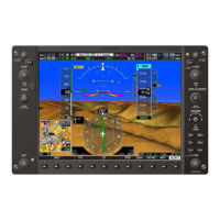
PFD Page Controls: Can be set to Show or Hide the transponder controls on the PFD as desired for a
panel-mounted transponder.
Selection Description
None GTX RS-232 port not used
ADS-B+ GPS GPS position input from a TSO GPS source (9600 baud)
Connext Format 1 (GTX X45 only) Connext weather and traffic data for a G3X Touch system
Connext Format 3 (GTX X45 only) Connext weather and traffic data for a Flight Stream 110/210
GNS (GTX X45 only) Weather data to / GPS position input from a GNS