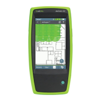
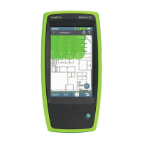
AirMapper Settings
Setting up the AirMapper app to perform a
survey involves naming the survey, loading a
floor plan image, specifying its dimensions,
setting scanning mode, and overriding bands
and channels.
l
Only .png and .jpg image files types are
supported.
l
You may need to use an image editing applic-
ation to crop your floor plan image to known
dimensions, such as the walls of a building or
property boundary.
Access the AirMapper settings by selecting the
menu icon or settings icon at the top of
the main app screen.
AirMapper™ App
644