SHANGHAI ESURVEY GNSS CO., LTD.
45
3. Input a name for the new point and press F4 REC for record. The display shows
Data Saved and automatically returns to EXTENSION display.
5.2.5 Tie Distance
This program is used to calculate the slant distance, horizontal distance, height difference
and azimuth of two target points measured in real time.
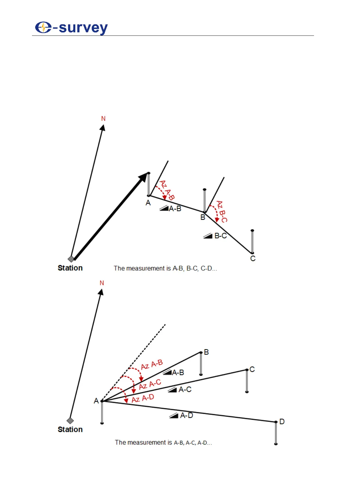
You can choose any of the following to accomplish this purpose:
Polygonal method
Radial method