JMA-9100 Instruction Manual > 3.BASIC OPERATION > 3.6 DISPLAY USER MAP
3-47
3
3.6 DISPLAY USER MAP
Up to 20,000 items of NAV lines, coastlines, depth contours, and NAV marks can
be created, displayed, loaded, and saved. (This function is available only when
navigation equipment is connected to this radar system.)
3.6.1 Create User Map (Mark/Line)
In this system, when the radar is in the transmission state, the user map is
displayed all the time. However, valid latitude/longitude data and true bearing
data must be entered into the system.
The user map can be created and edited by performing the following operation.
3.6.1.1 Plotting a mark
Procedures
1) Left-click the button located at the upper right
of the display to set the Mark mode.
The mark font to be used is displayed to the right of the button.
Marks that can be used : 29 types
Lines that can be used : 3 types (solid, broken, and dashed-dotted line)
Color of mark and lines
that can be used
: 7 colors
i
If radar video is poor visibility caused by user map function,
press the [DATA OFF] key to map displays temporarily off.
NOTE:
The user map function is available between latitudes of 85°N and 85°S.
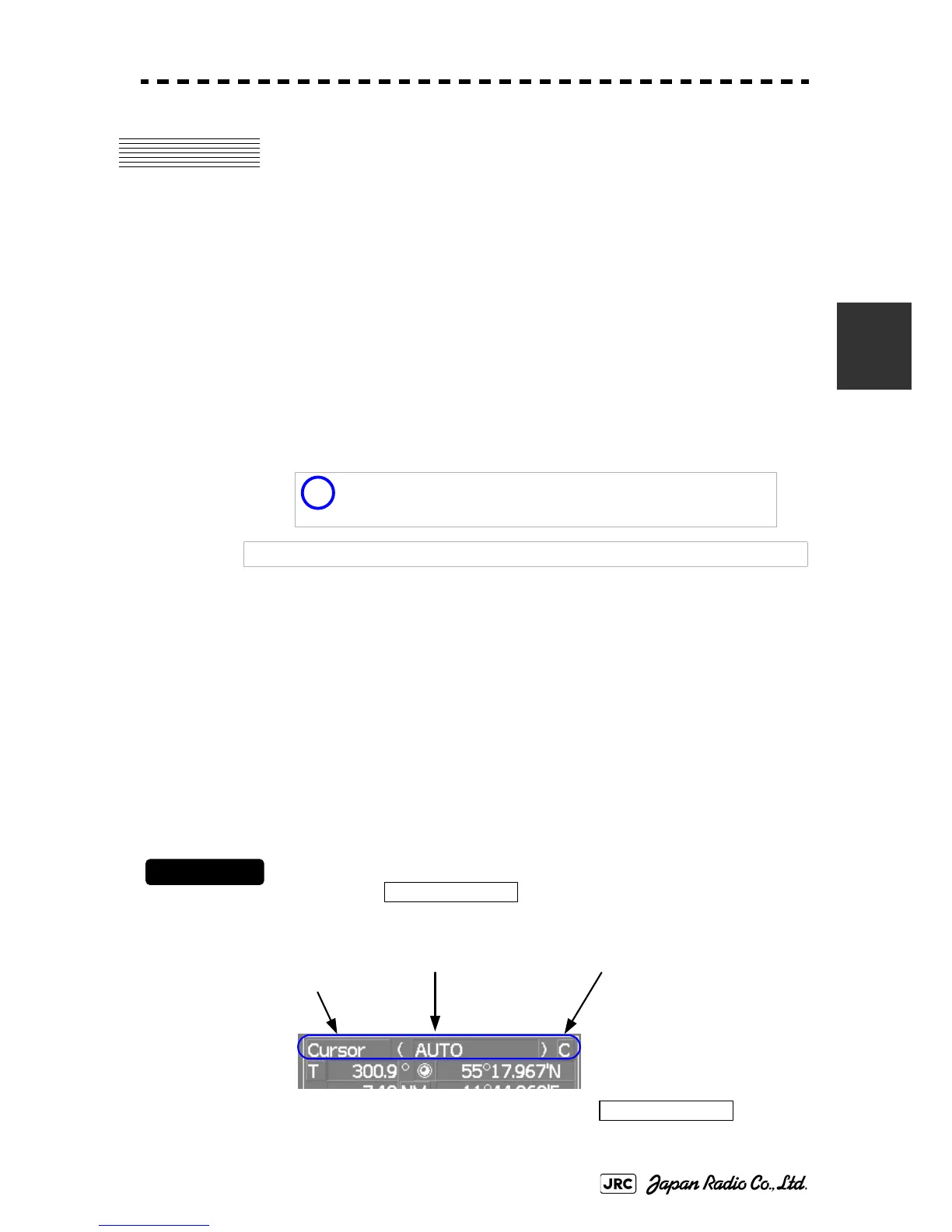
Cursor
Cursor mode switching
Mark color / line color
switching
Mark font / line pattern
switching
Cursor
 Loading...