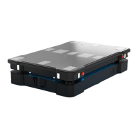
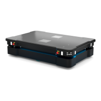
9. Navigation and guidance system
MiR1350 User Guide (en) 05/2022 - v.1.2 ©Copyright 2021-2022: Mobile Industrial Robots A/S. 100
•
The laser scanner data. This is used to determine the likely positions of the
robot by comparing the data with nearby walls on the map.
This data is used by a particle filter to determine the most likely position of the
robot on the map.
IMUand motor encoders
Both the data from the IMU (Inertial Measurement Unit) and motor encoders is
used to derive where and how fast the robot has traveled over time from its
initial position. The combination of both sets of data makes the derived position
more accurate.
If the drive wheels are worn down significantly—see Maintenance
on page226—or the robot is running with an incorrect gear ratio,
the robot will miscalculate how far it has traveled based on the
encoder data.
Laser scanners and particle filtering
The robot computer compares the input from the laser scanners with the walls
on the map to try and find the best match. This is done using a particle filter
algorithm. The robot computer only compares input from the area where it
expects the robot to be based on the encoder and IMUdata. Therefore, it is
important that the initial position of the robot is correct.