Viva Series, Survey - Hidden Points 1668
56.6 Computing Horizontal Distances from Slope Distances
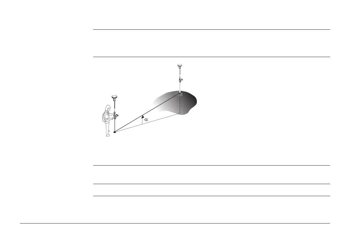
Description The horizontal distance for a hidden point measurement can be computed using a slope
distance, and an elevation angle or percentage grade. The slope distance and the elevation
angle can either be typed in or measured with a hidden point measurement device.
Diagram
Requirements Bearing & distance, Using 2 bearings or Back brng & distance must be selected for
Method.
Access In Hidden Point Measurement highlight Horiz distance. Press Slope.
P0 Known point
P1 Hidden point
d1 Slope distance
d2 Horizontal distance
α Elevation angle
GS_073
d1
P1
P0
d2

 Loading...