Viva Series, Configuration of Devices 451
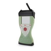
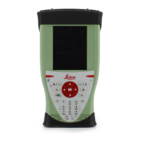
20.1.7 Hidden Point Measurement Devices
Typical uses To measure
• distances (reflectorless distance measurements using laser technology)
•angles
• azimuths
to points which are not directly accessible with GPS, for example house corners or trees. If
the device is connected to the instrument, the measurements taken with hidden point
measurement devices are directly transferred. If the device is not connected, measurement
can be typed in manually to calculate the coordinates of a hidden point.
Example of use
Step Description
1. An instrument must be a rover with or without real-time configuration.
2. A hidden point measurement device is connected to the instrument via cable or
Bluetooth.
3. Hidden point measurements are configured and activated.
4. Distances, angles and azimuths are measured to the hidden point with the hidden
point measurement device.
5. The measurements are directly transferred to the instrument and displayed in the
appropriate fields.
)
Hidden point measurement devices can be connected in addition to any of the
other devices. They can be active at the same time. Changing of ports is not
required.
 Loading...