1 Overview
1-2
1.1 Function
This equipment is navigation system with ECDIS (Electronic Chart Display and Information System)
functions conforming to the “ECDIS Performance Standards” adopted in IMO Resolution MSC.232(82),
and also meets IMO Resolutions MSC.191(79) and A694(17). Consequently, this equipment can become
the core of an integrated navigation system (INS) or integrated bridge system (IBS) that supports
one-man bridge operation.
• Safe sailing
• Energy-saved sailing
ECDIS functions:
ECDIS
• Compliance with the ECDIS defined by the IHO/IMO
The customers are recommended to monitor information about updated ECDIS software
version visiting to JRC website
(http://www.jrc.co.jp/eng/product/marine/application/ecdis_version.html).
• Availability of S-57 (supporting S-63) format, C-MAP Ed.3, and ARCS as chart databases
• Own ship’s track display and planned-route display on the electronic chart
• Automatic checking of the safety contours and dangerous areas of the own ship (not available for
ARCS)
• TT target display and AIS target display on the electronic chart
• Superimpose display of radar echo on the electronic chart (when ECDIS is used with the optional
radar overlay kit)
• True/Relative motion display
• North-up/Course-up display
• Display of route information such as latitude/longitude at destinations, bearings/distances up to
waypoints, and planned arrival time
• Availability of two EBLs/VRMs
• Writing of memos with alphabetic characters into the electronic chart
• Display of information such as the date/time, current position, heading, and ship’s speed
• Display symbols used to present chart information are presented in accordance with S-52 and its
appendices.
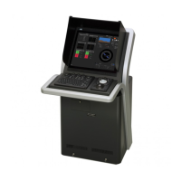
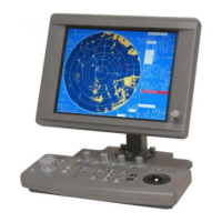
• Display specifications
Size: 19-inch color LCD (JAN-701B)
23.1-inch color LCD (JAN-901B)
Selection of colors (conforming to the IMO/IHO) suitable for the daytime, nighttime, dawn, and
dusk Display of the symbols and colors recommended by the IHO.
Navigation Planning
• Editing of route information
Addition, deletion, and modification of waypoints on the electronic chart
Calculation of the distance between waypoints, bearings, and planned arrival time
Up to 512 waypoints per route
Checking on the crossing of the safety contours and dangerous areas on created routes
Automatic sailing functions
• Route tracking
• Course change

 Loading...