1 Overview
1-4
1.2 Features
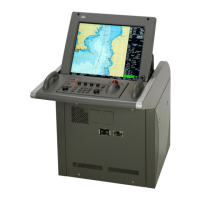
This ECDIS has the following features:
ECDIS functions:
• Displays vector charts such as S-57 and C-MAP, and raster charts such as ARCS
• Safe navigation ensured by the crossing alarm function for safety contours and dangerous areas
and the guard ring function (not available for ARCS)
• Optimized displays of navigation warnings, weather warnings, and emergency messages from the
connected Navtex receiver
• Ease of operation supported by high-speed drawing and high-speed processing
• Ease of user chart creation
• Multi view function to display two charts at a time (not available for C-MAP Ed.3 and ARCS)
• Wide range view in addition to single or multi view
• Route planning in two ways, using table editor or graphic editor
• Creation of alternative route during voyage
• Automatic sailing by connecting with autopilot
• Playback function to check the voyage
• S-57 update portfolio

 Loading...