Viva Series, Reference Line 979
Next step
Info.. to edit the screen page.
Slope Information to
Show
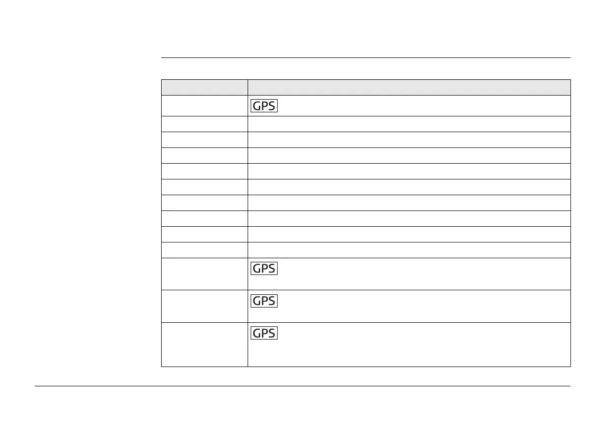
Description of all values which can be displayed on the Slope screen page.
Field Description
Antenna height
To enter the antenna height.
Chainage Displays the current chainage.
Current slope Displays the current slope of the target position to the hinge.
Design slope Displays the slope grade as defined by the user.
Easting Displays the Easting coordinate of the current target position.
Elevation Displays the Height value of the current target position.
Line space full Insert full line space.
Line space half Insert half line space.
Northing Displays the Northing coordinate of the current target position.
Point ID To enter the point ID.
Quality 2D
Display only field for the current 2D coordinate quality of
computed position.
Quality 3D
Display only field for the current 3D coordinate quality of
computed position.
RTK positions
Display only field for the number of positions recorded over the
period of point measurement. Appears in the survey screen page of
real-time rover configurations.


 To Next Page