3 – 97
3.7
3.7.7 Displaying Geodetic Datum
When displaying navigation information, check if its geodetic datum is the same as that used by the navigation
equipment by referring to the comment at the time when the destination was created.
If the geodetic datum does not accord, the navigation information on the radar screen will be displaced, it is
important to use the same geodetic datum as that for the navigation equipment.
To look at the geodetic datum and the name of navigation information
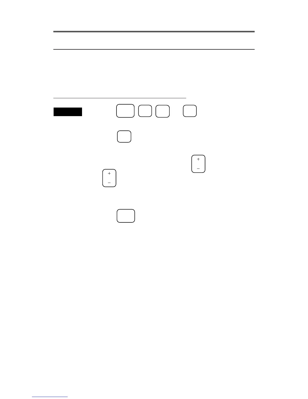
Procedures
1. Press the
SUB
MENU
,
4
,
9
, and
4
keys in this order to open
the NAV INFO menu.
2. Press the
2
key to select "WAYPOINT INPUT".
3. To select the destination number at the time when navigation information
was created , press the minus (-) side of the
RANGE
key or plus (+) side of
the
RANGE
key to select it.
The first two numerals displayed in the comment section represent the number of
geodetic datum characters. (Refer to the list of geodetic data on page 8-37 for the
name of geodetic datum.)
4. Press the
SUB
MENU
key to end the operation.
 Loading...