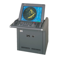
3-46
3
3.6 Display User Map
y
y y
3.6
DISPLAY USER MAP
Up to 20,000 items of Mark/Line can be created, displayed, loaded, and saved. (This function is available
only when navigation equipment is connected to this radar system.)
Marks that can be used : 5 types
Lines that can be used : 3 types (solid, broken, and dashed-dotted line)
Color of mark and lines that can be used : 8 colors
Display only marks : 10 types
If radar video is poor visibility caused by user map function, press the [DATA OFF] key to map displays
temporarily off.
3.6.1 Create User Map (Mark/Line)
In this system, when the radar is in the transmission state, the user map is displayed all the time. However,
valid latitude/longitude data and true bearing data must be entered into the system.
The user map can be created and edited by performing the following operation.
3.6.1.1 Plotting a mark
Procedures 1 Open the Mark With Cursor menu by performing the menu operation
below.
U.Map
→ Edit User Map
→ Make With Cursor
The Mark With Cursor menu will appear.
Display with “Map Make” in the cursor mode (in the upper right of the radar display).
2 Select the mark type use with the Type combo box.
3 Select the color type use with the Color combo box.
4 Left-click at a desired location on the radar display.
The specified mark will be displayed in the specified color.
To create another mark, repeat the above procedures.

 Loading...