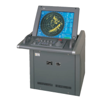
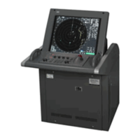
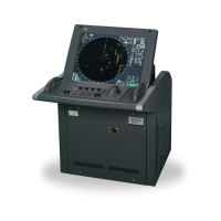
3-103
3.12
USING CHART
To display a chart, the chart must be beforehand imported.
The chart which can be displayed is C-MAP Ed.3 of ENC (S-57) which is a vector chart.
ARCS which is a raster chart can not be displayed.
As for the import step, refer to the instruction manual of about chart introduction.
If radar video is poor visibility caused by chart function, press the [DATA OFF] key to chart displays
temporarily off.
3.12.1 Displaying the Chart
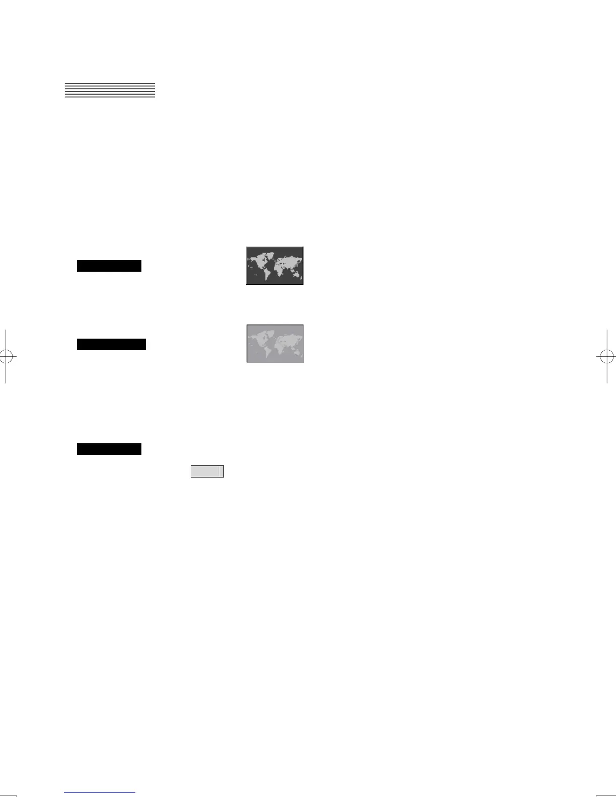
Procedures 1 Left-click the button in the lower right of the screen.
A chart is displayed.
Cancellation 1 Left-click the button in the lower right of the screen.
The display of the chart is canceled.
3.12.2 The Setting of The Chart Object to Display (Chart Menu)
Procedures 1 Open the Chart menu by performing the menu operation below.
Chart
The Chart menu will appear.
・ Set each object.
On: Display an object.
Off: Dose not displays an object.
・ The object which it is possible to set individually is hereinafter.
Coast Line: Cost line
Safety Contour: Safety contour
Danger To Navigation: The dangers such as the wreck
Buoys: Buoys
Land Area: Land area
Depth Contour: Depth contour
Text: Text
Other Object: Off Dose not displays other objects
Base Display other objects including category “Base”
Standard Display other objects including category “Standard”

 Loading...