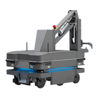
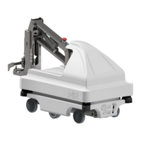
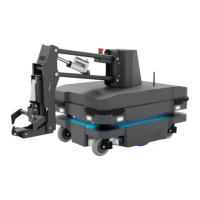
10. Navigation and guidance system
MiR250 Hook User Guide (en) 01/2023 - v.1.2 ©Copyright 2021-2023: Mobile Industrial Robots A/S. 107
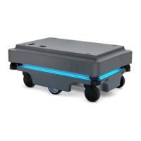
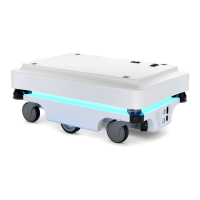
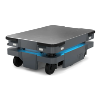
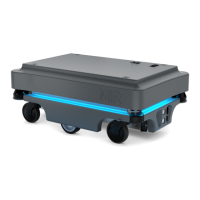
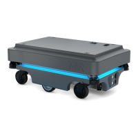
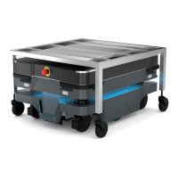
Safety laser scanners
Two safety laser scanners, diagonally placed on one front and one rear corner of the robot, scan
their surroundings. Each safety laser scanner has a 270° field of view, overlapping and thus
providing a full 360° visual protection around the robot—see Figure 10.7.
When in motion, the safety laser scanners continuously scan the surroundings to detect objects.
The robot uses scanner data for four different purposes:
• Safety
The robot stops if the scanners detect an obstacle within the active Protective field—see
"Personnel detection" on page123.
• Navigating
The robot uses the data to plan paths around detected obstacles—see "Global planner" on
page103 and "Local planner" on page105. It only uses the data within a 9 m radius around
each scanner for navigating.
• Mapping
When you activate the mapping function, the robot uses scanner data to draw a map based on
detected obstacles. It uses data within a 28 m radius around each scanner for mapping.
• Localization
The robot uses the data to determine where it is currently positioned on the map—see
"Localization" on page114. It uses data within a 40 m radius around each scanner for
localizing.