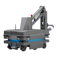
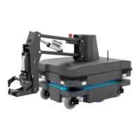
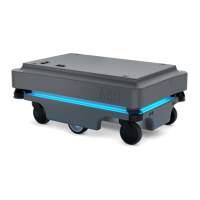
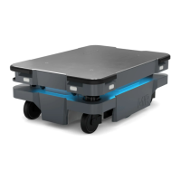
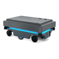
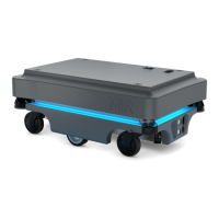
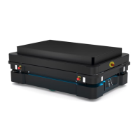
10. Navigation and guidance system
MiR250 Hook User Guide (en) 01/2023 - v.1.2 ©Copyright 2021-2023: Mobile Industrial Robots A/S. 114
• When the robot is driving, obstacles detected by the proximity sensors are too close for the
robot to stop or avoid. The robot relies on the laser scanners and 3D cameras to detect
obstacles while it is driving.
• The effectiveness of the proximity sensors may be influenced by the shape, material,
reflectivity, and color of obstacles.
10.6 Localization
The goal of the localization process is for the robot to determine where it is currently located on
its map. The robot has three inputs for determining where it is:
• The initial position of the robot. This is used as a reference point for the methods used to
determine the robot position. This is one of the inputs required from the user—see "User
input" on page102.
• The IMUand encoder data. This is used to determine how far and fast the robot has traveled
from the initial position.
• The laser scanner data. This is used to determine the likely positions of the robot by comparing
the data with nearby walls on the map.
IMUand motor encoders
Both the data from the IMU (Inertial Measurement Unit) and motor encoders is used to derive
where and how fast the robot has traveled over time from its initial position. The combination of
both sets of data makes the derived position more accurate.
If the drive wheels are worn down significantly—see "Maintenance" on page240—or
the robot is running with an incorrect gear ratio, the robot will miscalculate how far it
has traveled based on the encoder data.
Laser scanners and particle filtering
The robot computer compares the input from the laser scanners with the walls on the map to try
and find the best match. This is done using a particle filter algorithm. The robot computer only
compares input from the area where it expects the robot to be based on the encoder and
IMUdata. Therefore, it is important that the initial position of the robot is correct.