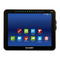
54 Firmware Version 6.0
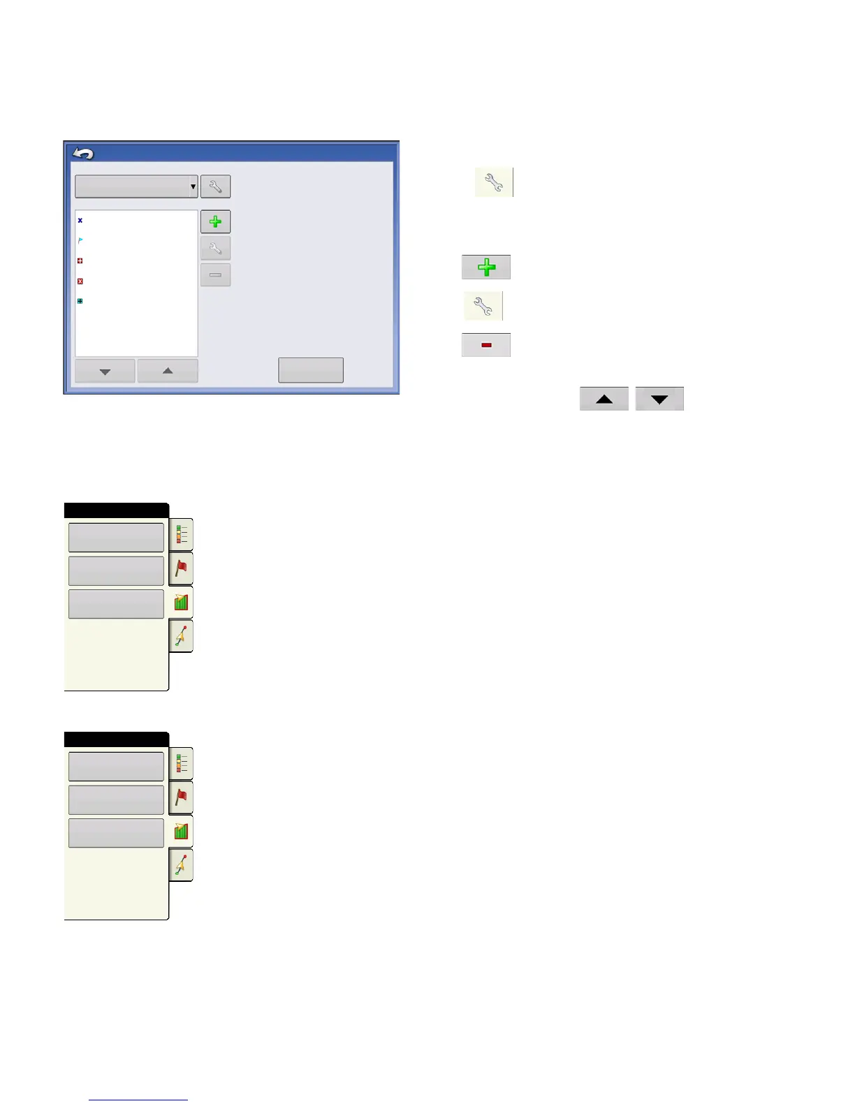
Edit Markers
Marker Sets
Pressing allows operator to create, name, and
delete marker sets.
Markers
• Press to add a marker.
•
Press
to edit a marker.
• Press to remove a marker
• If you have numerous map icons, you can cycle
through them by pressing
/
.
• When creating or editing a marker, check the
Georeferenced Note
button if you wish to add a Field Note
that is referenced to the current GPS position when that marker is used.
Field Tab
Field tab allows the user to setup boundaries, headlands, and topography.
Boundary
Press the Boundary button on the Field tab to access the Boundary Options screen.
Rock
Weeds
Marker Sets
Marker Management
All Markers
Markers
Washout
Post
Outlet
Load
Reference Marks
Boundary
Field
Headlands
Topography
Boundary
Field
Headlands
Topography
 Loading...