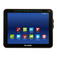
Do you have a question about the Ag Leader InCommand 800 and is the answer not in the manual?
Contact information for display repairs and technical assistance.
Explains safety symbols and general precautions for operation.
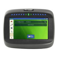
Overview of the initial setup wizard for new displays.
Overview of creating and changing configuration settings.
Setting offsets for accurate mapping and AutoSwath.
Tasks for adding/importing planting, application, or harvest products.
Accessing Grower, Farm, Field, Season, User, and Businesses tabs.
Adding, modifying, or deleting users from the display.
Defining user access levels (Operator or Manager).
Accessing general, display, features, AgFiniti, and advanced tabs.
Options for creating backups, restoring, and clearing internal memory.
Settings for Universal Terminal and Task Controller.
Overview of import, export, sync, and firmware upgrade functions.
Transferring setup information between displays and software.
Creating exact clones of display contents for backup.
Platform for data transfer and remote display viewing.
Native iOS app for maps and summary information.
Features for additional functionality with AgFiniti Mobile.
Modes for connecting InCommand to compatible iPads.
Steps to log into the AgFiniti account.
Feature for unlocking and syncing maps and data.
Live stat indicators for devices logged into AgFiniti.
Tracking field operations with new or existing events.
Overview of GPS setup options.
Performing guidance by lightbar or using auto-steer systems.
Configuring serial GPS receiver settings.
Setting up RTK External using NTRIP.
Configuring NTRIP RTK profiles.
Creating, loading, or adjusting guidance patterns.
Creating straight AB line guidance patterns.
Following gentle contours or avoiding obstacles.
Following gentle contours based on original curve.
Creating guidance for center-pivot irrigated fields.
Guidance for irregular fields based on previous passes.
Creating, editing, and loading paths into SmartPath.
Making auto-steer turning adjustments on the go.
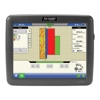
Viewing field totals and averages.
Creating documentation of in-field application events.
Steps to begin creating a Smart Report.
| Display Size | 8 inches |
|---|---|
| Resolution | 800 x 600 pixels |
| GPS Compatibility | Yes |
| ISOBUS Compatible | Yes |
| Power Supply | 12V DC |
| Connectivity | WiFi, Bluetooth, USB |
| Operating Temperature | -20°C to 50°C |
| Operating System | Ag Leader proprietary |