61 Ag Leader PN 4002083 Rev. N
S
ETUP
F
IELD
O
PERATIONS
This topography layer can be turned on/off as a
reference layer during any operation using Enable
checkbox on Topography screen (shown above) or
using the Topography checkbox on the Map Options
screen (see
“Map Legend tab” on page 51).
This can provide you with valuable information in
regards to the highs and lows of a field when you
may not be able to visually tell with the naked eye.
Surveying and Tiling operations will probably benefit
the most with respect of where to place the mains
and laterals in a field.
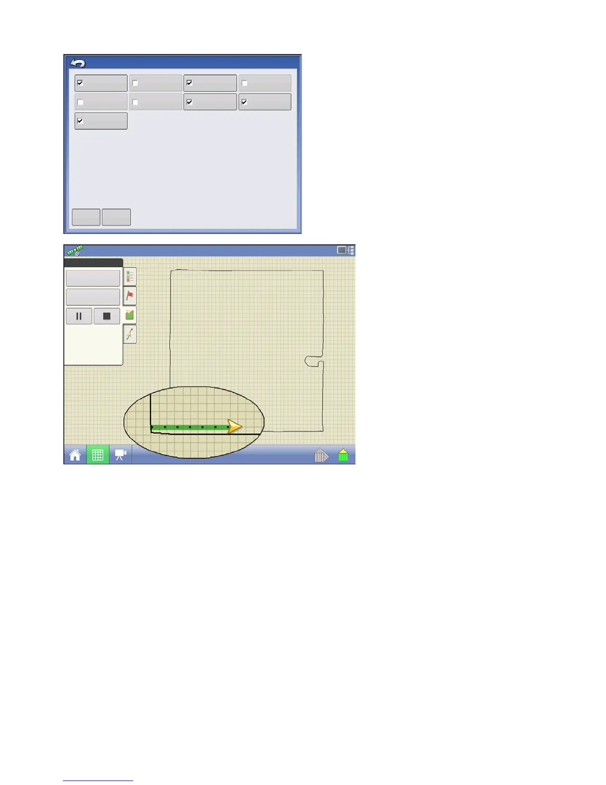
If you have RTK GPS reception, you are
allowed to collect an elevation survey.
This will allow you to collect the Lat/Long
and elevation values as you traverse the
field. A point will be dropped every 3
meters as you drive regardless of speed,
or direction. If you are collecting during
operations like planting or application
using autoswath, it will also log points
outside the boundary of the field (i.e.
through a grassed waterway) to get the
most information throughout the field.
It is critical that the GPS Antenna to
ground measurement is correct in your
configuration, any error in this
measurement, will add to the error in the
data logged.
The following are suggestions to get the best possible elevation survey for a given field. Following
these recommendations will provide the best results for your field.
• Keep swaths in the field to 60ft (19 M) or less, the closer the better
• Driving a dedicated route at the lowest or highest points in a field (i.e. lengthwise of a grassed waterway,
or at the top of a ridge) then traversing the field in regular swaths will provide the best detail of the field
• If surveying with the tile plow antenna, ensure that the plow is in the fully raised position
• Driving too fast with mounted plows, can cause bouncing and affect quality
• Surveying with harvesting equipment can provide streaked maps as the hopper filling and unloading can
affect the height of the vehicle, and therefore antenna
Map Options
Load
Reference
Data
Guidance
Boundary
Marker
Reference
Rx
Tile
Grid
Topography
Clear Map
Boundary
Headlands
Field
0.67 ac
4.5 mph
 Loading...