107 / 116
S1002.PRO_mz12PRO_Teil2_V1sh
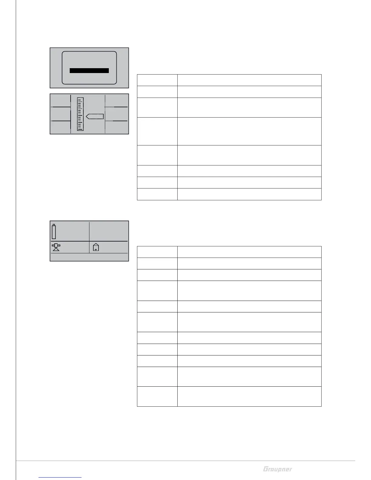
VARIO
This display visualizes the data of a Vario module connected to the
receiver (order No. 33601).
It have the following meanings:
Value Description
ALT Current altitude
RXSQ Transmitter signal quality received by the receiver
expressed as percentage.
MAX preset altitude limit relative to the starting loca-
tion, over which audible warning signals are
output
MIN preset maximum altitude below the starting point
from which acoustic warning signals are issued
m/1s
m/3s
m/10s
Microcopter display
This display shows the data of a HoTT-compatible microcopter. The
abbreviations have the following meaning (from top to bottom start-
ing on the left):
Value Description
V Current voltage
0:00 Time turned on
mAh Used battery charge since the device has been
turned on
0 Position number of the satellite
km/h Speed above ground calculated by the GPS sys-
tem
Alt Current altitude
Dir Direction of movement
I Momentary current
m Distance from the starting location calculated by
the GPS system
° Position in angular degrees relative to the starting
location calculated by the GPS system
Messages from the microcopter sensor are displayed in the bottom
line in the above display.
RXSQ
0
MAX
0m
MIN
0m
ALT
0
H
L
m/1s
0.0
m/3s
0.0
m/10s
0.0
RX–S QUA: 100%
RX–S ST : 100%
TX–dBm: 33dBm
RX–dBm: 33dBm
RX–SPG.:4.8 TMP
V–PACK: 10ms
CH OUTPUT TYPE:ONCE
RECEIVER
AIR ESC
GENERAL
ELECTRIC AIR
VARIO
GPS
0mAh
0:00
0.0V
0km/h
0
I:
DIR.
ALT. 0m
0°
0A
0m
0°
 Loading...