Region of origin Category
Northwestern
Pacific Ocean
Name of tropical storm
(Typhoon)
Northwestern
Pacific Ocean
Name of tropical storm
(Super-Typhoon)
You can also see the time stamp for the
weather data on map scales of 50 miles and
smaller.
The weather map shows wind directions and
wind speeds.
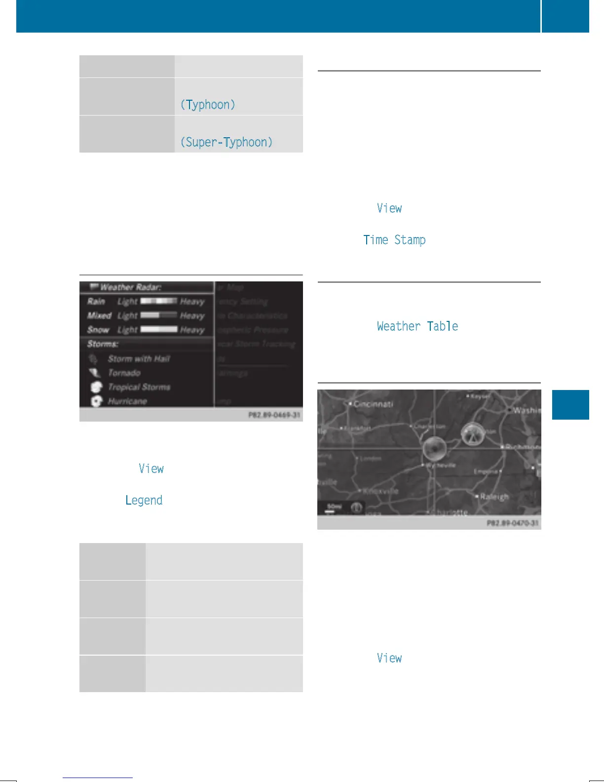
Legend (precipitation radar and storms)
X
Display the menu on the weather map
(
Y page 220).
X
To select View: turn and press the control-
ler.
X
Select Legend.
i
The symbol for a tornadic storm is also
valid for a cyclone (mesocyclone).
Precipita-
tion type
Color scale
Rain Eleven shades from light (light
green) to heavy (red)
Mixed Light (light violet) to heavy
(violet)
Snow Light (light turquoise) to
heavy (turquoise)
Time stamp
The time stamp shows when the weather data
was created by the weather station.
A time stamp corresponds to the time at the
vehicle's current position. The changeover
from summer time to standard time is per-
formed automatically.
X
Display the menu on the weather map
(
Y page 220).
X
To select View: turn and press the control-
ler.
X
Select Time Stamp.
Changing to the information chart
X
Display the menu on the weather map
(
Y page 220).
X
To select Weather Table: turn and press
the controller.
Storm watch areas
Storm watch areas for which there are storm
advisories are displayed as red areas on the
weather map.
Activating/deactivating the display of areas
in red:
X
Display the menu on the weather map
(
Y page 220).
X
To select View: turn and press the control-
ler.
The list of display levels appears.
Weather forecasts
223
SIRIUS Weather