Using 2D Guidance in the Field 4
2. Move the machine to the new working position, touch the focus of the bucket to
the point you touched previously (the common point), and press \. The
system is now benched against the original benchmark elevation. The guidance
screen re-appears.
3. Repeat step 1 and step 2 every time you move the machine.
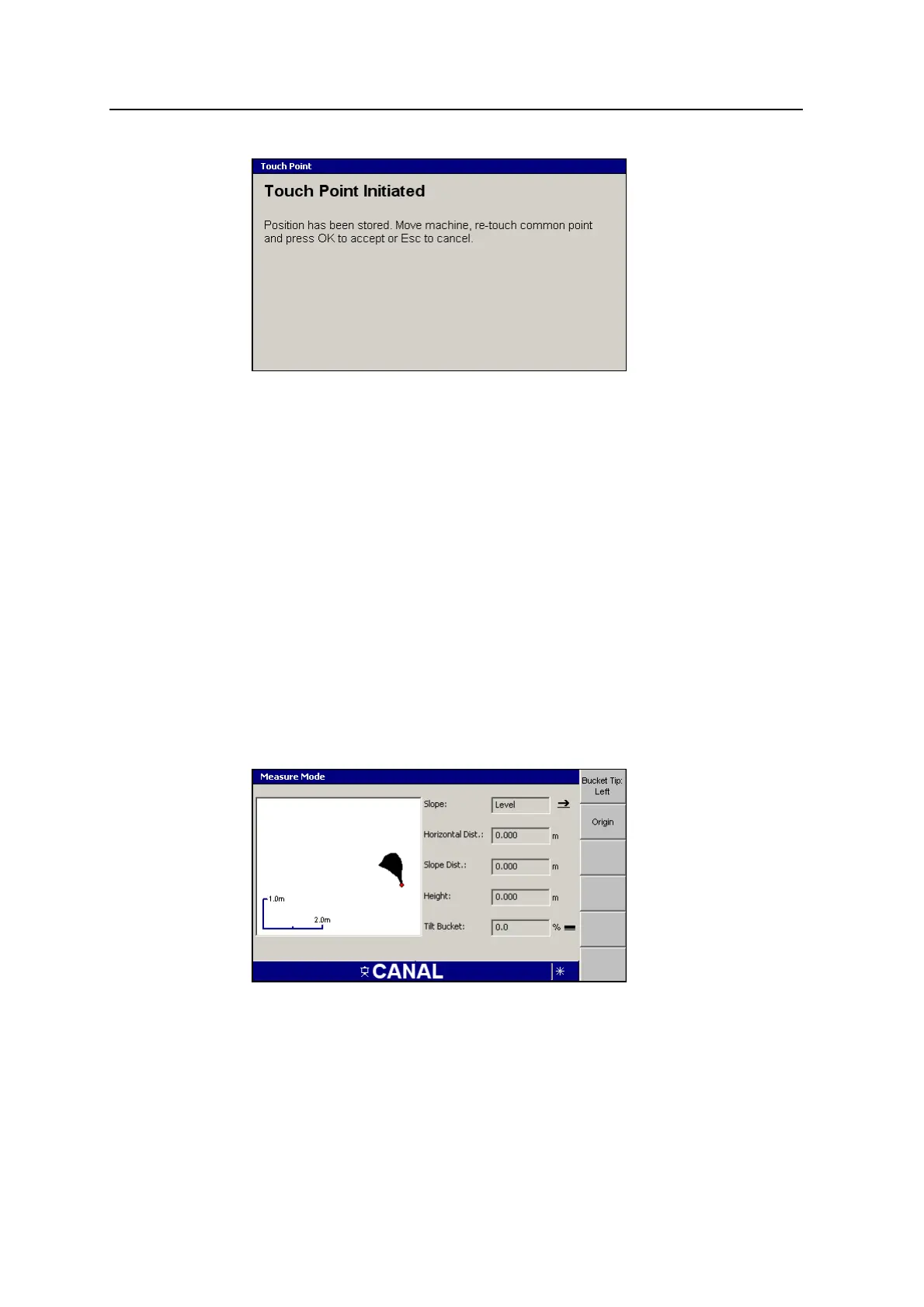
4.7.2 Using the bucket position to measure site features
The system lets you determine differences in reach and elevation, and calculate
slope distances and slopes between points, by moving the arm and bucket. The
calculated slope between two points can be saved into the slope memories.
Note – The measurement is taken to the tip of the bucket that has focus.
To measure between two points:
1.
From any guidance screen, press M.
2. Select Measure Mode.
3. Check that the correct position for the bucket focus point has been selected. If
required, press Bucket Tip:<value> to cycle through the focus point positions.
Note – If you change the bucket focus during the measurement procedure you
will clear the stored origin position.
GCS900 Grade Control System for Excavators Operator's Manual 105