6 Using Mapping/Recording in theField
l Off
l None (Mapping/Recording is not enabled)
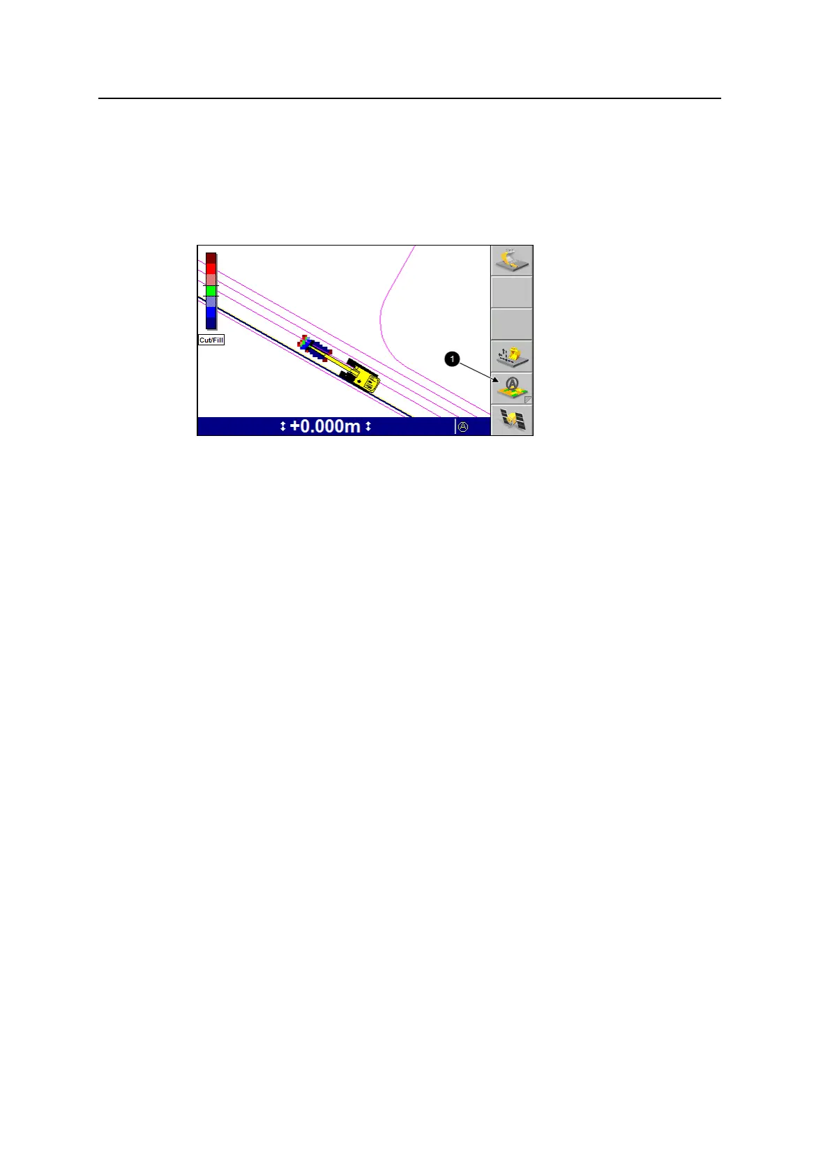
When Mapping/Recording is enabled and the Mapping softkey (1) is enabled as
Mapping:On/Off, you use the Mapping softkey to select the required mapping type.
There is difference between Mapping:Auto and Mapping:On. If configured as
Mapping:Auto, the system may have more requirements before it will record data. If
the system was configured as Mapping:On it will always map.
For example, the system is set to Minimum Height Mapping as an auto rule and you
are working with mapping set to Mapping:Auto. When you want to quickly change
from cutting to placing material and want to map as you place this material, all you
need to do is change the mapping softkey to be set to Mapping:On. This ignores the
minimum height mapping setting associated with Mapping:Auto.
6.4.2 Plan view mapping types
On any mapping/recording enabled guidance screen, press N to move between the
plan view mapping types. Multiple mapping types enable you to see the current
progress of each mapping type.
Mapping types are configured by your site supervisor and include:
l Terrain (or Min. Elev.Terrain, when Minimum height mapping is set to Yes)
l Cut/Fill (or Min. Elev. Cut/Fill, when Minimum height mapping is set to Yes)
Note – You must have a design loaded in order to select Cut/Fill mapping.
l Passes Target
l Radio coverage
146 GCS900 GradeControl System for Excavators Operator's Manual