6 Using Mapping/Recording in theField
2. Select one of the following options:
1:To use the same coordinate system as the last loaded design, select
Use last (<name>). This option maintains your Northing, Easting and
Elevation reference.
2:To automatically create a new coordinate system based on your current
position, select Auto create on load. (MS9x2-based systems only, with
firmware version 4.40 or later).
3:To use an existing coordinate system stored in the root directory of the
control box file system, select the coordinate system name.
3.
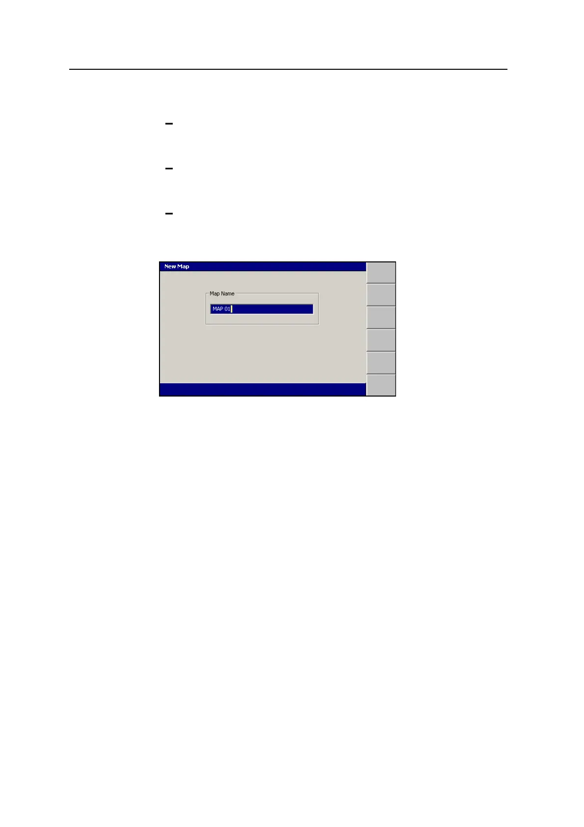
Press \. The New Map dialog appears.
The system gives the new map a default name.
4.
If required, edit the default name, then press \ to accept the name and return
to the Select Design File dialog. The map just created is highlighted.
5.
Press \ to load the new map and return to the Setup Menu – Configuration
menu.
6.3 Configuring Mapping/Recording
The Mapping/Recording menu item is only available when:
l A design or map has been loaded, AND
l Mapping for the main screen views has been enabled by your site supervisor.
To configure mapping/recording:
1.
From any guidance screen, press M.
2. Select Mapping/Recording.
144 GCS900 GradeControl System for Excavators Operator's Manual