EasyManuals Logo

Trimble GCS900 User Manual

Default Icon
188 pages
To Next Page IconTo Next Page
To Previous Page IconTo Previous Page
Page #143 background imageLoading...
Page #143 background image
Using Mapping/Recording in the Field 6
6.2 Loading or creating a map
Map recording data is stored in either the design file of a loaded design or in a map
file in a named directory on the system. If you are not working to a design or do not
have a design loaded, then you must load an existing map file or create a new map
file.
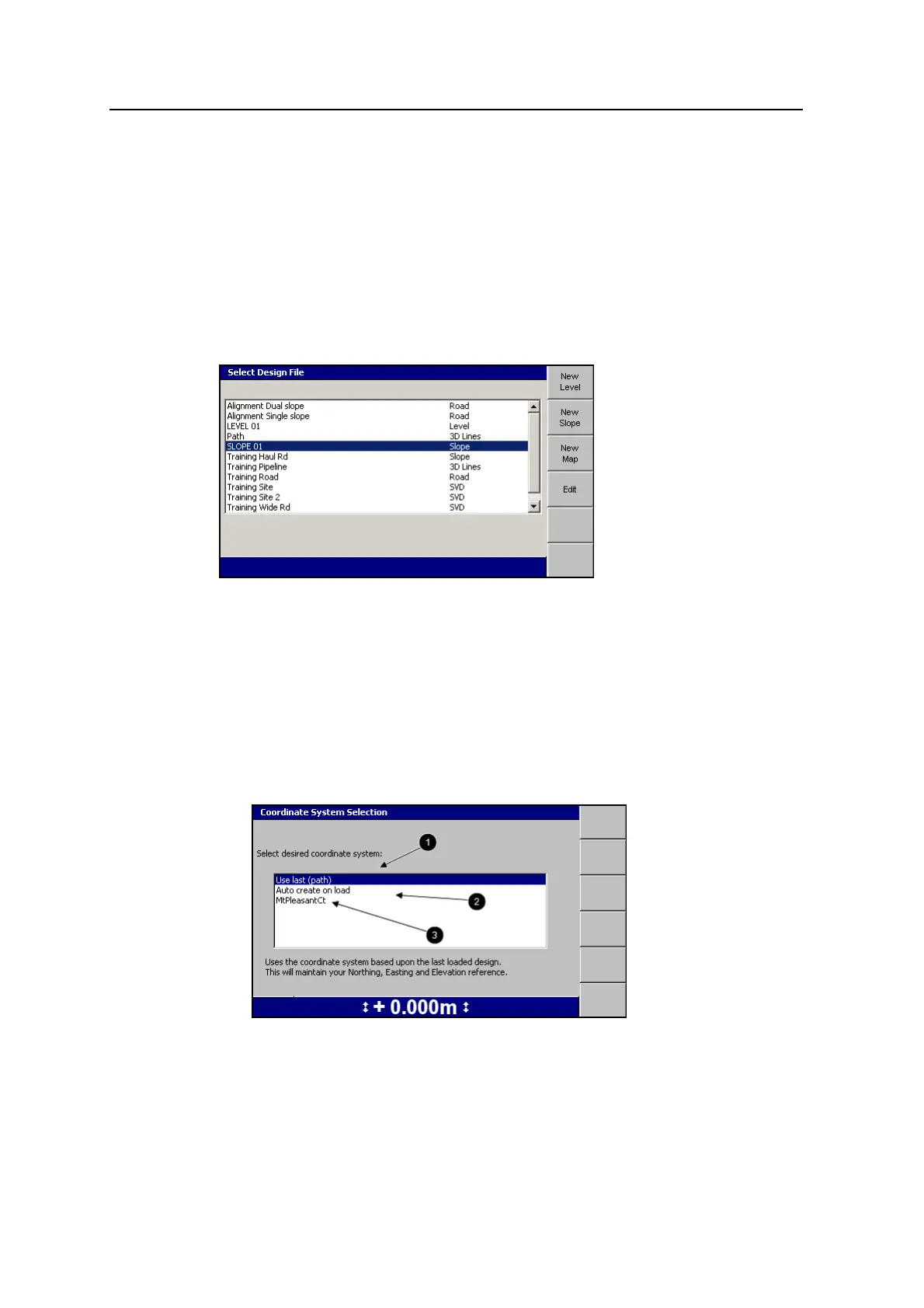
To create or load a map file, from the Setup Menu Configuration menu select
Select Design.
6.2.1 Loading a map file
To load an existing map file, follow the steps in Loading a design, page 118.
6.2.2 Creating a map file
To create a named, empty, map directory to hold map recording data:
1. From the Select Design File dialog, press New Map.
GCS900 Grade Control System for Excavators Operator's Manual 143

Table of Contents

Other manuals for Trimble GCS900

Questions and Answers:

Question and Answer IconNeed help?

Do you have a question about the Trimble GCS900 and is the answer not in the manual?

Trimble GCS900 Specifications

General IconGeneral
System TypeGrade Control System
TechnologyGNSS, GPS, Laser
ConnectivityWireless
GNSS SupportGPS, GLONASS, Galileo, BeiDou
Power Supply12-24V DC
Operating Temperature-20°C to 55°C
IP RatingIP67
AccuracySub-inch to centimeter level
Storage Temperature-40°C to +70°C (-40°F to +158°F) (typical, component dependent)