Version 16.10 AF-6600 AF-5000 Series Install Manual 243
Worldwide Jeppesen Data Files
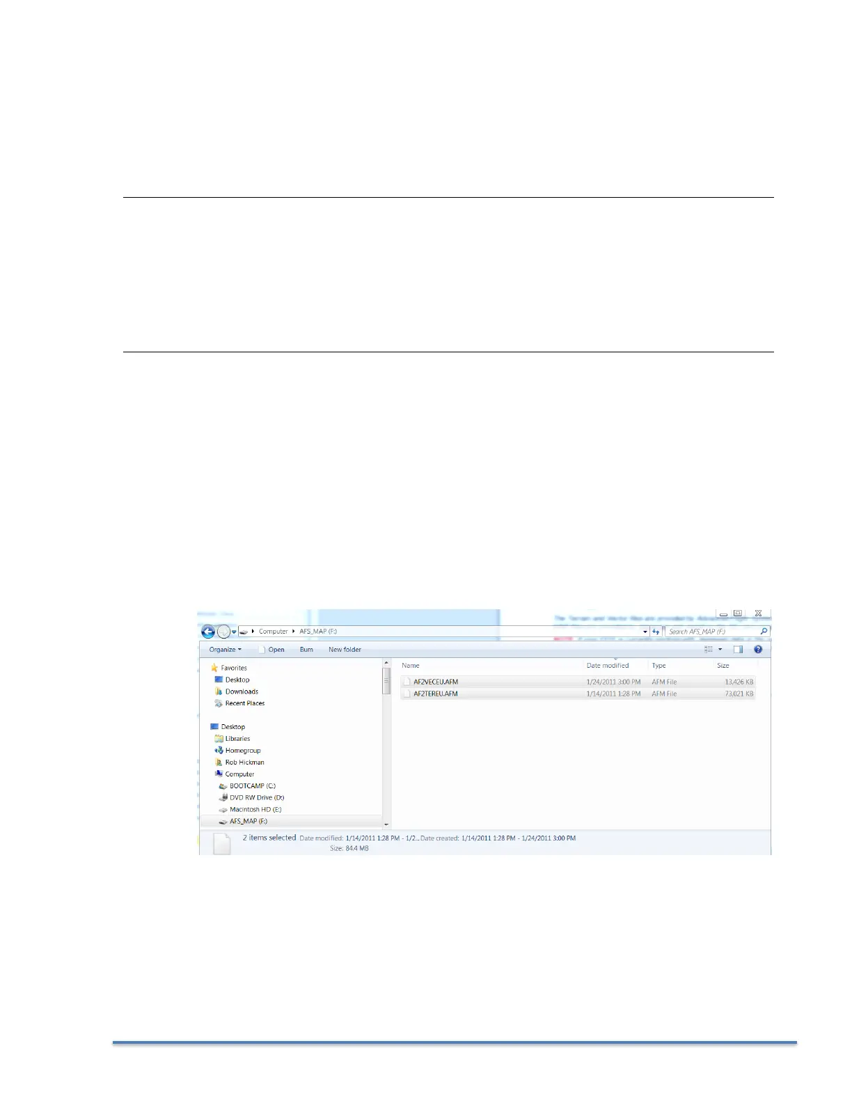
The Terrain and Vector files are provided by Advanced Flight Systems and are rarely updated. The MAP
files are provided by Jeppesen and install on the SD card using their JSUM program.
NOTE: If your EFIS is currently working with Jeppesen data in the region you are flying in you do not
need to update any files from the AFS web store. You only need to use the Jeppesen JSUM program to
update the NAV data.
File Name Description Source
Only updated when changing regions or switching to Jeppesen data
AF2TERxx.AFM Terrain height information for the US AFS Web Store
AF2VECxx.AFM Vector data for US roads/rivers/lakes/cities AFS Web Store
Updated every 28 days
AF2MAPxx.AFM Navigational data (airports, obstacles, navaids, …) Jeppesen JSUM
xx Region Code for your area.
AF Africa
AS Asia
EU Europe
ME Middle East
NA North America
SA South America
PA Pacific
Instructions:
If your EFIS is currently working with Jeppesen data in the region you are flying skip to step 2
1. Using the AFS WEB Site select and download the World Wide (Terrain and Vector) support files
onto your SD card.
2. Using the Jeppesen JSUM program on your PC get the current AFSMAPxx.AFM map data from
Jeppesen.