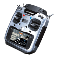
80
DISTANCE 1 2
MODE▶ SURFACE
POSITION
N= 0ʼ 0.0000
0ʼ 0.0000 E=
G
● 2nd page of [DISTANCE]
●Jog key press a side made 2 page.
●Current position display.
N: North latitude, E: East longitude
S: South latitude, W: West longitude
Altitude
SLANT
●Altitude calculated
as either straight
line
distance (slant) or surface
distance on a map can
also be selected.
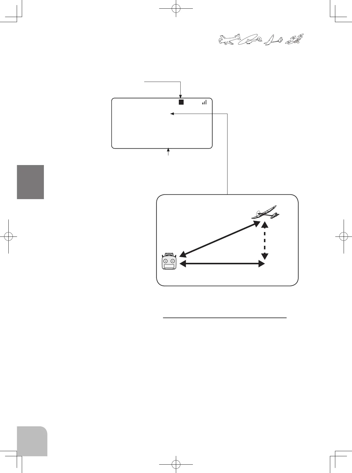
Two distance calculation methods are available
Surface (straight line distance), and Slant may
be selected.
1. Select page 2 by Jog key press side from the
"DISTANCE" screen.
2. Select <SLANT> <SURFACE> next to "MODE"
press the +- key.
●Select [DISTANCE] in the TELEMETRY screen and access
the setup screen shown below by press the Jog key.
 Loading...