Page Display Definitions
2-34
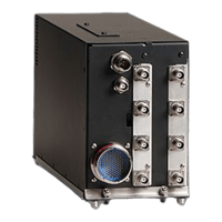
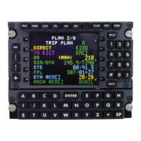
GNS-XLS Flight Management System
Rev. 3
Sep/96
• #TOD: Indicates the Top of Descent target altitude where the aircraft
should begin its descent in order to arrive at the Descent Reference
Waypoint at the required altitude. (Figure 2-39)
NOTE: If no Descent Reference Waypoint with crossing altitude is pro-
grammed, the system will use the arrival airport elevation to fix the #TOD
as long as an airport is the last waypoint on the Active FPL.
EST CROSSING:
Altitude trajectory computed by the system to the Vertical TO waypoint
based on current groundspeed and vertical speed (Figure 2-40). This
field will display RANGE (NM) in miles and tenths when the Vertical TO
Waypoint is a#TODor #TOCprofile point. (Figure 2-39)
ETE:
The estimated time enroute in hours, minutes and tenths, from the aircraft
present position to the Vertical TOWaypoint #TOC or #TOD. (Figure 2-
39)
REQUIRED FPM:
Required vertical speed in feet per minute to make the altitude constraint
based on current ground speed. UP indicates a positive vertical speed
and DNindicates a negative vertical speed (Figure 2-40). This field will
display @#TOD FPM DN when the Vertical TO Waypoint is the Top of
Descent and indicate the descent target vertical speed. (Figure 2-39)
ACTUAL FPM:
Actual vertical speed in feet per minute. UP indicates a positive vertical
speed and DNindicates a negative vertical speed. (Figures 2-39 and 2-
40)
VERT DEV:
Vertical deviation of aircraft from this descent path in feet. HIGH indicates
aircraft is above the path (Figure 2-40); LOWindicates aircraft is below
path. CLIMB GRAD xxx/NM is displayed during CLIMB mode to indicate
current aircraft climb performance in feet per nautical mile. (Figure 2-38)
NOTE: VERT DEV data field is dashes if the ETE to descent path inter-
cept is greater than one minute. This line will be blank if no FPA is pro-
grammed at descent reference waypoint. In this case #TOD will be deter-
mined using the default FPA from the VNAV DATA Page. However the
FPA must still be entered for the system to provide a path.
 Loading...