CHAPTER 5 REFERENCE GUIDE
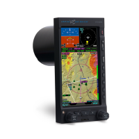
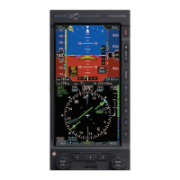
EFD1000/500 MFD Pilot’s Guide
Page 5-4 091-00006-001 REV B
EFD1000/500 MFD Pilot’s Guide
Page 5-5091-00006-001 REV B
The data source for all but the active ight plan associated with the Navigation Map
VIEW is obtained from the Jeppesen Database saved to the micro SD Card. If the
Jeppesen Database is invalid or unavailable, DATABASE FAILURE is displayed in amber.
While Navigation Map VIEW features (Table 5-2) are loading, a gray indicator displays
on the bottom center of the Navigation Map VIEW.
Feature Group Feature Details
Navigation
Flight plan waypoints, legs, intersections, VOR, NDB, DME,
VORTAC, VOR/DME, and TACAN
Airports Hard-surfaced and other than hard surface
Hydrographic Information Oceans, lakes, and rivers
Boundaries
International, state or province, Air Defense Intercept Zones
(ADIZ), Special Flight Rules Areas (SFRA)
Transportation
Main Highways, Roads, Railroads
1
Controlled Airspace Class B, C, and D airspace
Special Use Airspace
Prohibited, Restricted, Alert, Warning, MOA special use airspace,
and TFRs
Obstructions Towers and man made articles that are 250’ high or taller
Relative Terrain
Color coded terrain relief based upon the relative altitude
dierence between the aircraft’s indicated altitude and the
elevation of the terrain
Table 5-2 Navigation Map Feature Groups
1. VFR style Map only.