INS
GUI User’s Manual
Inertial Labs, Inc
TM
Address: 39959 Catoctin Ridge Street, Paeonian Springs, VA 20129 U.S.A.
Tel: +1 (703) 880-4222, Fax: +1 (703) 935-8377 Website: www.inertiallabs.com
158
Fig. 12.7
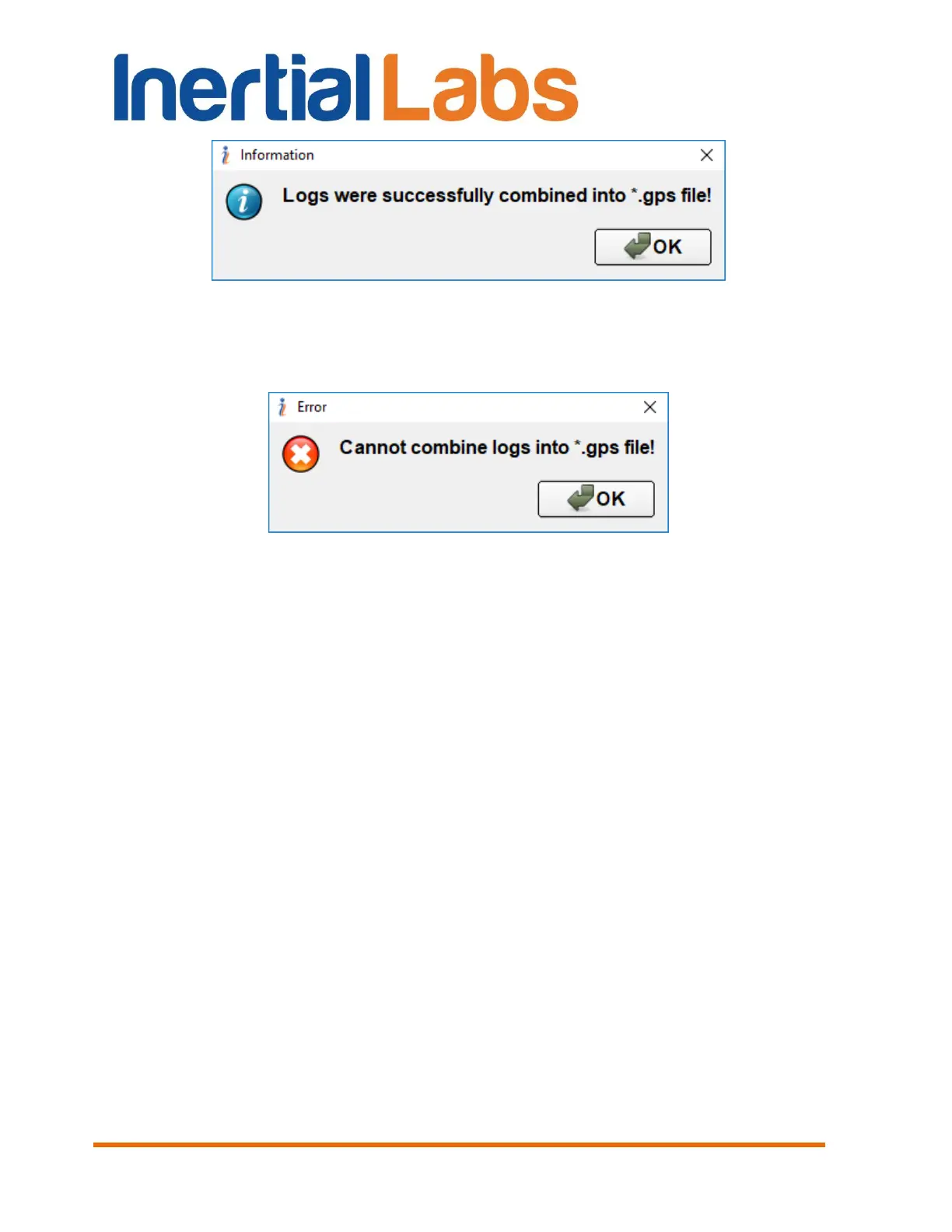
If combination of raw IMU and GNSS raw GNSS data was not successful
then a pop-up Fig. 12.9 will appear on the screen.
Fig. 12.8
The converter will create the new GNSS data file, with the same name as
file with INS data, but with extension .gps
The new file can be imported directly into Inertial Explorer during project
creation. Inertial Explorer will automatically recognize the file as containing
GNSS and IMU data, extract the data, detect the IMU model, and add the
necessary files to the project.
12.3. INS sensors error model for INS + GNSS data post-
processing
For data post-processing in the NovAtel Waypoint Inertial Explorer it is
necessary to choose error model of IMU sensors. For post-processing
Inertial Labs
TM
INS, it is necessary to create a profile with the recommended
parameters.
Follow the next steps to create profile in NovAtel Waypoint Inertial Explorer.
Step 1. Select “Settings” “Manage profiles” in the top menu.
 Loading...