43.3.9 Rail - Info Page
The following parameters are available. All fields are display only.
Field Description
Difference
in offse
t
Distance from the measured point to the point to stake out
in a direction perpendicular to the horizontal alignment.
Difference
in height
Vertical offset between the defined position and the current
position.
Difference
in chainage
Difference between the defined chainage and the current
chainage.
☞
If no defined chainage exists, for example if stak-
ing out random chainages or checking, this field
reads Difference in chainage: -----.
Chainage The current chainage. This field is independent of the chosen
settings for Help me navigate and Navigational arrow
types in Road Settings, Graphics page.
CL height
diff
Height difference from the centreline.
CL height Height of the centreline at the current chainage.
CL radius Radius of the horizontal alignment at the chainage of the
measured point.
CL type Element type of the centreline.
CL offset Perpendicular horizontal offset from the centreline. This field
is independent of the chosen settings for Help me navigate
and Navigational arrow types in Road Settings, Graphics
page.
CL tangent Tangent direction of the centreline at the current chainage.
Nearest hz
tangent
point
The chainage difference between the measured point and
the nearest tangent point of the design is displayed. The
nearest tangent point is the start/end point of a road seg-
ment.
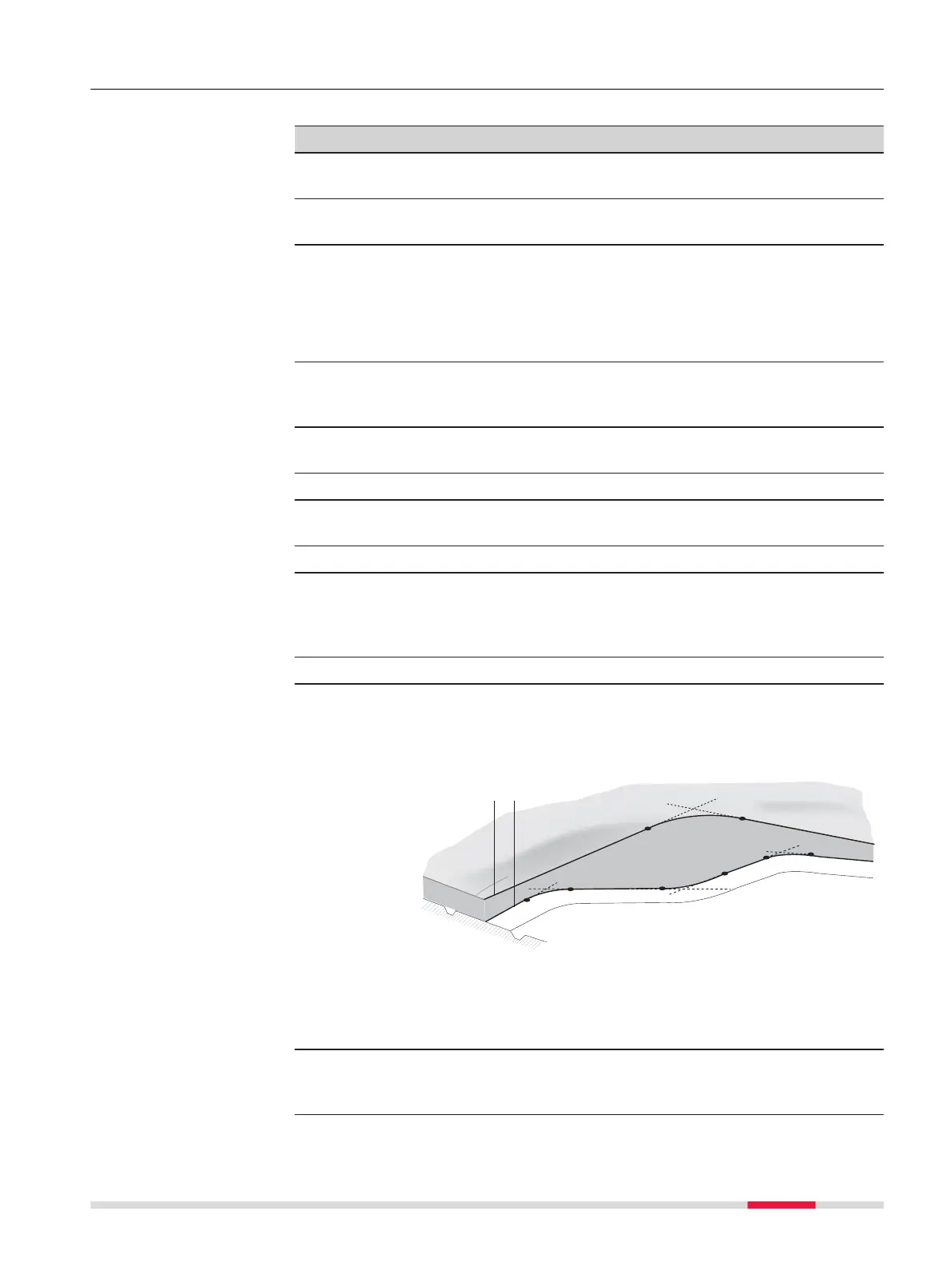
a Vertical alignment
b Horizontal alignment
Only tangent points are detected. The tangent point is the
start/end point of a road segment.
Nearest ver-
tical tan-
gent point
Distance to the nearest vertical tangent point of the design.
Available fields
Roads - General 673






 To Next Page