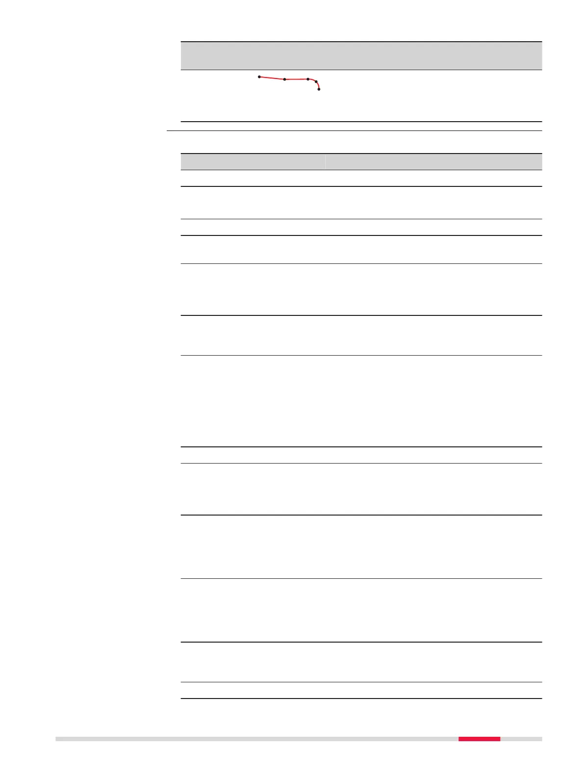
Term Description
Line segment
A line segment is an individual component of
a multi-line such as a pol
yline or an align-
ment. The segment can be a straight or an
arc.
Create line data by one of the following methods:
Method Description
Create lines onboard
☞
The Measure to line/Stake to line app supports DBX polylines. DBX
are
as can be also used as closed polylines.
Data management Refer to "7 Job Menu - View & edit data".
Create Control Data Lines can be created using the Create line
function. Refer to "Create new line/arc".
3D viewer From 3D viewer, lines can be created, impor-
ted or selected to be used in Measure to
line/Stake to line. Refer to "35.6 Context
Menu".
Survey linework Lines can be created by measuring points in
the field. Lines can be made using the line-
work commands.
Road data in Alignment Edi-
tor
Using the Alignment Editor app, a simple
centreline alignment can be created and be
imported.
☞
Only straight and curve elements
are supported. The alignment cre-
ated with the Alignment Editor app
must be converted to a Roads Job.
Import lines
Import an individual line from
DXF background map
Using a DXF file attached as a background
map, lines can be selected and imported
within 3D viewer, Measure or Measure to
line/Stake to line apps.
Import all objects including
lines from DXF
Copy the DXF files to the \DATA directory on
the data storage device of the instrument.
Once the card is back in the instrument the
DXF import program can be used to bring the
lines into the job.
Import from XML Copy the DXF files to the \DATA directory on
the data storage device of the instrument.
Once the card is back in the instrument the
XML import program can be used to bring the
lines into the job.
Import Road alignments Alignment in Import data supports various
different formats like dxf, LandXml, MxGenio,
Terramodel, Carlson.
Create lines externally
Preparing the data
Measure to line/Stake to line 563



 To Next Page