71
Caution
●
●●
● The MOB mark is displayed only on condition that a navigator is connected and
latitude/longitude information is input.
The MOB function does not work unless latitude/longitude information is input.
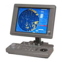
3.5.20 Using the WAYPOINT function [MENU]
When the radar receives BWC or RMB from the navigator, it displays the distance to the
destination, the bearing, and the latitude and longitude of the destination in the numeric value
display area.
1. Displaying WAYPOINT
Take the following steps to display waypoint:
(a) Press the [MENU] key to display MENU .
(b) Select DISP OPTIONS and then WAYPOINT pressing the [JOG DIAL] or
[ACQ/ENT] key after each selection.
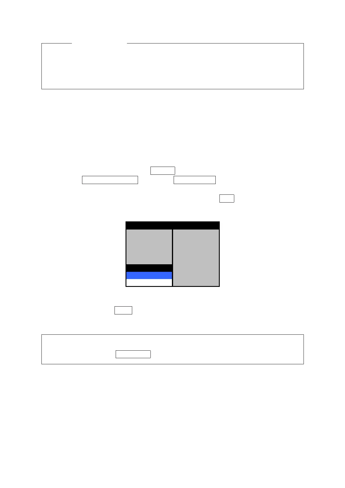
(c) The menu below is displayed. Turn [JOG DIAL] to select ON , and then press the [JOG
DIAL] or [ACQ/ENT] key to determine the selection.
EBL BEARING TRUE
FROATING EBL OFF
PARALLEL LINE OFF
VRM1 UNITS NM
VRM2 UNITS NM
WAYPOINT OFF
OFF LL
ON
DISP OPTIONS
2. Erasing WAYPOINT
In step (c) above, select OFF , and then press the [JOG DIAL] or [ACQ/ENT] key to determine
the selection.
●
●●
● When WAYPOINT and MOB are operating simultaneously, it can change by
holding down the TGT DATA key.
 Loading...