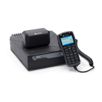
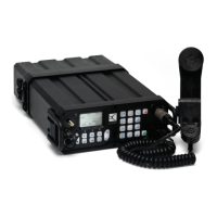
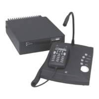
OPERATING THE TRANSCEIVER
USING GPS PLOTTER
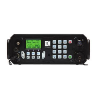
ENVOY® TRANSCEIVER GETTING STARTED GUIDE 125
Using GPS Plotter
Overview of GPS Plotter
Access to the GPS Plotter feature is available if you have the GPS
Call option enabled in your transceiver.
The GPS Plotter feature allows a GPS position associated with
certain user interface contexts to be output to particular serial
port(s) in the system. When a context is triggered (for example,
selecting an entry in the call log that contains a GPS position), the
position is output to all serial port(s) that are configured for the
GPS Plotter function. The output will continue at a periodic rate
until the context ceases.
The contexts where GPS Plotter behaviour is triggered are
controlled by two settings, Output Local GPS and GPS Plotter
Contexts.
The GPS Plotter output is formatted in NMEA 0183 RMC format.
NOTE: For details about the Output Local GPS and GPS
Plotter Contexts settings, please see the
Reference Manual (Codan part number
15-04176-EN issue 6).
NOTE: For information on setting up a GPS Plotter session,
please see the Reference Manual (Codan part
number 15-04176-EN issue 6).
NOTE: If configured, the GPS Plotter output can be accessed
from all serial ports provided by the Envoy
transceiver, including RFU GP port, RFU 6-way
port, console GP port, VCOM ports and CICS over
IP port.