EasyManua.ls Logo

Koden MDP-621 - Page 61

Koden MDP-621
244 pages
Print Icon
To Next Page IconTo Next Page
To Previous Page IconTo Previous Page
Loading...
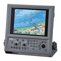
Chapter 5 MDP-621/641/640
Basic operation Operation manual
5-6 0093161022-06
(NOTE)
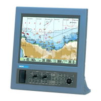
No additional operation is available for the NAV Screen, Compass and Highway display.
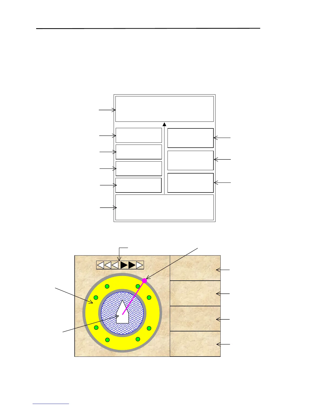
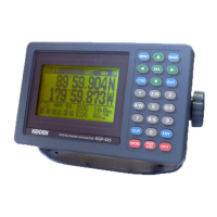
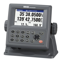
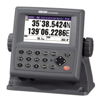
Each screen has the following data shown. To have these data displayed, the connection of an associate
sensor or navigation device is required. If no data is supplied, a series of letter X will be displayed in each
data window.
When the ship’s heading data is provided, HDG is displayed instead of COG.
WAYPOINT/BRG/RNG
34
°
34.5670
134
°
23.4560
N
E
359.3
°
25.6nm
POSITION/COG/SOG
34
°
23.4560
134
°
24.1230
N
E
335.3
°
15.3kt
WIND DIR.
WIND SPEED
TEMP
DEPTH
ETA
TTG
TIM
XXX.X
12.3
kt
17.6
256.7 m
12.25
14:10
09:08
05:02
Waypoint position
Waypoint bearing
Waypoint range
Wind Direction
Wind Speed
Water temperature
Water depth
Own position
Course over ground
Ship’s speed
Estimated
time of arrival
Time to
waypoint
Local time
E
XTE 0.50
WPT NO
BRG
COG
CDI
0.0°
31.2°
123
31.2°
S
N
W
Waypoint
number
Waypoint
bearing
Ship’s
heading
Course
deviation angle
Bearing dial
Own ship’s
course
Course deviation
Compass
Waypoint bearing
T

Table of Contents

Related product manuals