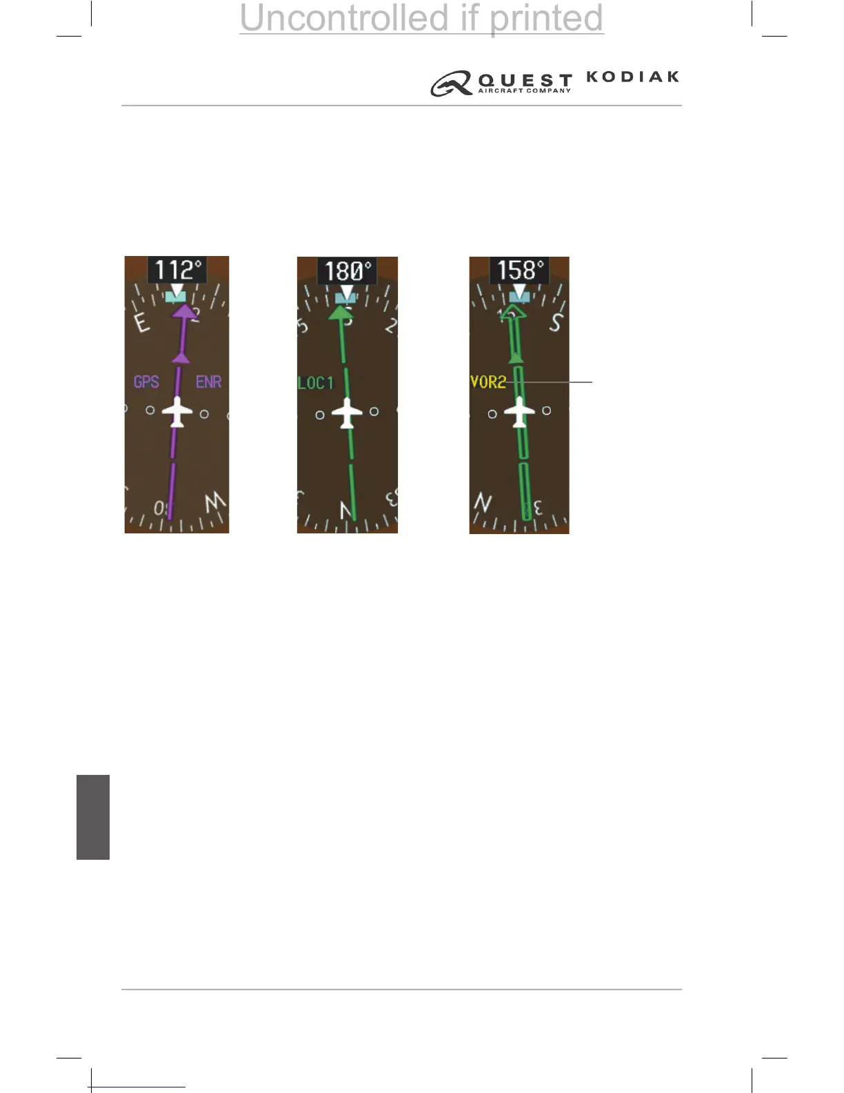
The CDI can display two sources of navigation, GPS or VOR/LOC. The color
indicates the current navigation source: magenta for GPS or green for VOR
and LOC. The full scale limits for the CDI are dened by a GPS-derived
distance when navigating GPS. When navigating using a VOR or localizer
(LOC), the CDI uses the same angular deviation as a mechanical CDI. If the
CDI exceeds the maximum deviation on the scale (two dots) while navigating
with GPS, the crosstrack error (XTK) is displayed below the white aircraft
symbol.
Figure 7-20 – Navigation Sources
Navigation
Source
Selected on
Both PFDs
is not
Synchronized
 Loading...