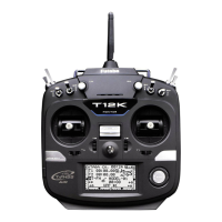
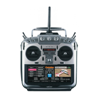
Surface
Altitude
Slant
●Altitudecalculatedas
eitherstraight
line
distance(slant)orsurface
distanceonamapcan
alsobeselected
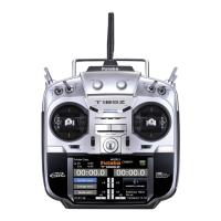
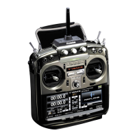
(3/3)
Setting a "too close" alert distance.
1.AccessthesecondpagebypushingS1.
Movethecursortothe↓ALERTitemandpush
theRTNbuttontoswitchtothedatainput
mode.
2.SelecttheACTmodebyscrollingthePush
dial.
3.PushtheRTNbutton.(Toterminatetheinput
andreturntotheoriginalstate,pushtheS1
button.)
4.Movethecursortothe↓THRESHOLD[0yd]
itemandpushtheRTNbuttontoswitchto
thedatainputmode.
5.AdjusttheratebyscrollingthePushdial.
*When the RTN button is pushed for one second, the rate is
reset to the initial value.
6.PushtheRTNbutton.
●SelectingSurfaceorSlantdistances[DISTANCE]intheTELEMETRYscreenby
pushingtheRTNbuttononceandtheS1buttontwice.
Two distance calculation methods are available
Surface (straight line distance), and Slant may be
selected.
1.Selectpage3bypushingtheS1buttontwice
fromthe“DISTANCE”screen.
2.Select<SLANT><SURFACE>nextto“MODE”,
scrolleithertothedesiredmethodandpush
theRTNbutton.
●Currentpositiondisplay.
N:Northlatitude,E:Eastlongitude
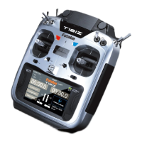
Scrolling
●Movingcursor
●Selectingmode
●Adjustingvalue
●Tonextpage
●Toinputdatamode
●Dataisentered