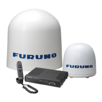
3. ECDIS Display
3-3
CM-ENC: C-MAP produced official ENC chart that complies with the IHO's (International Hydrographic
Organisation's) S-57 Edition 3 product specification. When used in an ECDIS, the ENC data improves the safety of
navigation at sea.
.
(WT)
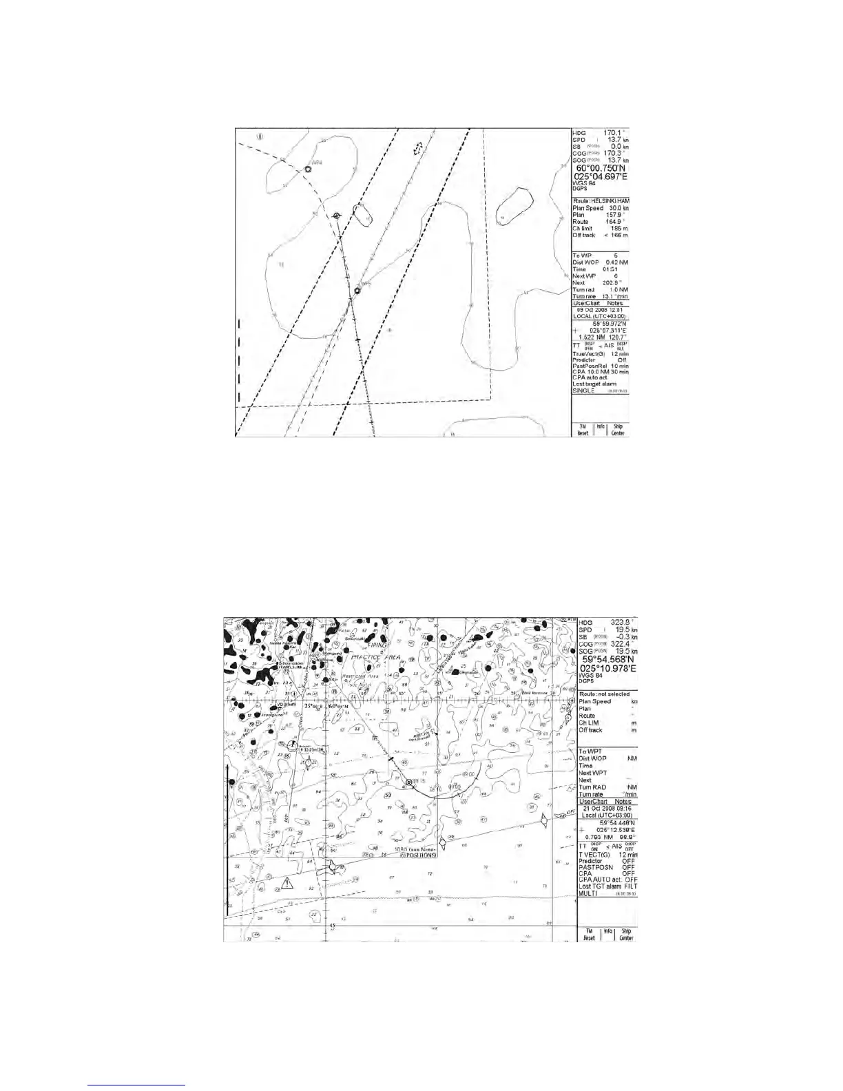
S57 vector chart
ARCS raster format
ARCS charts are digital reproductions of British Admiralty (BA) paper charts. They retain the same standards of
accuracy, reliability and clarity as paper charts.
Zooming into the ARCS chart can be useful for magnifying a complex detail, however this decreases the density of
the data displayed, and can give a false impression of the distance from danger. Therefore, magnification is limited
to 2x the original paper chart's scale or ½ the original paper chart's scale.
(WT)
ARCS raster format chart