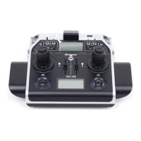
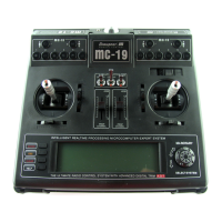
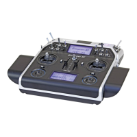
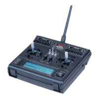
46
Transmitter description - Telemetry data display
GPS
RX–S QUA: 100%
RX–S ST : 100%
TX–dBm: 33dBm
RX–dBm: 33dBm
RX–SPG.:4.8 TMP
V–PACK: 10ms
CH OUTPUT TYPE:ONCE
RECEIVER
GENERAL
ELECT. AIR
VARIO
GPS
N
RXSQ 0
DIS 0m
ALT 0m
0.0m/1s
0m/3s
0m/10s
W
E
S
Kmh
0
N 0°00.0000
O 0°00.0000
Note:
As long as the two fields are highlighted in
black on the bottom right, yet there are no
current GPS data.
If attached to the receiver, this display will depict the
data from a GPS module with integrated Vario, No.
33600.
Aside from the model’s current position and speed,
the centre section of this screen will also display
current altitude with respect to the starting location
as well as the model’s current ascent/decent rate in
m/1 s and m/3 s, current reception quality and the
model’s distance from its starting location.
The displayed items are as follows:
Value Explanation
W / N / E / S west / north / east / south
Kmh speed
RXSQ return channel signal quality
DIS distance
ALT current altitude with respect to starting
m/1s m/1 s ascent/decent rate
m/3s m/3 s ascent/decent rate
Note:
With firmware version 1.072 the GPS
functionality of the mc-32 HoTT was
expanded: Once out of what ever reason, the
telemetry link to the model is interrupted for longer
than three seconds and as long as the transmitter is
not switched off, the last correctly transmitted GPS
data received are saved in the transmitter’s memory.
These data can be read from the GPS display when
required by pressing the corresponding four-way keys
of the transmitter.
Microcopter display
0mAh
0:00
0.0V
0km/h
0
I:
Dir:
Alt: 0m
0°
0A
0m
0°
This display visualizes the data of an HoTT compat-
ible microcopter. It means from left up to right down:
Value Explanation
V current voltage
„0:00“ Power on time
mAh Capacity used in actual power on time
„0“ Satellites position number
km/h Average speed over ground as relieved
by GPS system
Alt current altitude
Dir Direction
I Actual current
m Distance from start as relieved by GPS
system
° Position in degreeses related to start as
relieved by GPS system
In the blank in the above figure line of the display any
messages Microcopter sensors display.
GPS
N
W
O
S
Kmh
0
km/h
DIS
m
m/s
ALT
m
0
0.0
0
If attached to the receiver, this display will depict the
data from a GPS module with integrated Vario, No.
33600.
The displayed items are as follows:
Value Explanation
W / N / E / S west / north / east / south
km/h speed
DIS horizontal distance in m
m/s ascent/decent rate in m/s
ALT altitude relative to starting location in m