ENVIMAP Reference
C3-26 ENVI-MAG Manual
.
To allow you to combine your survey map data with other map data in digital
form, ENVIMAP provides you with the option of creating an AutoCAD
DXF
format file. The units in the
DXF file will be in ground coordinates. If the DXF
file does not register properly with your CAD drawing, it is most likely due to
different coordinate systems being used in the drawings. In this situation you
can make a
BLOCK of the ENVIMAP plot and use the AutoCAD INSERT
command to scale and position the map as required.
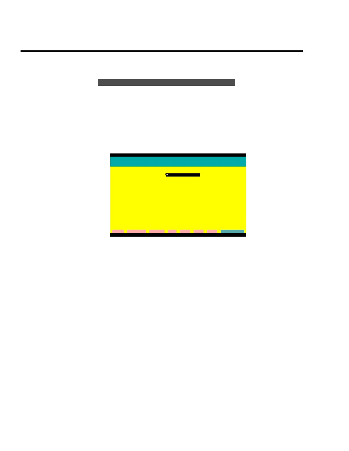
Figure C-22 The AutoCAD DXF output dialogue screen
Plot file name
Enter the plotfile name to be converted. The output file will have the
same name, but with a
.DXF file extension.
Convert to DXF
ENVIMAP Version 3.02.00
Convert a plot to an AutoCAD compatible DXF file
Plot file name:
↓
envimag.plt
The DXF file will have tha same name as the plot file,
but with extension .DXF .
cleaR clear All Command Dos Help List eXit Go
G:\ENVIMAP
 Loading...