ENVIMAP Reference
C3-16 ENVI-MAG Manual
This group of options allows you to control the cosmetic appearance of
the map sheet.
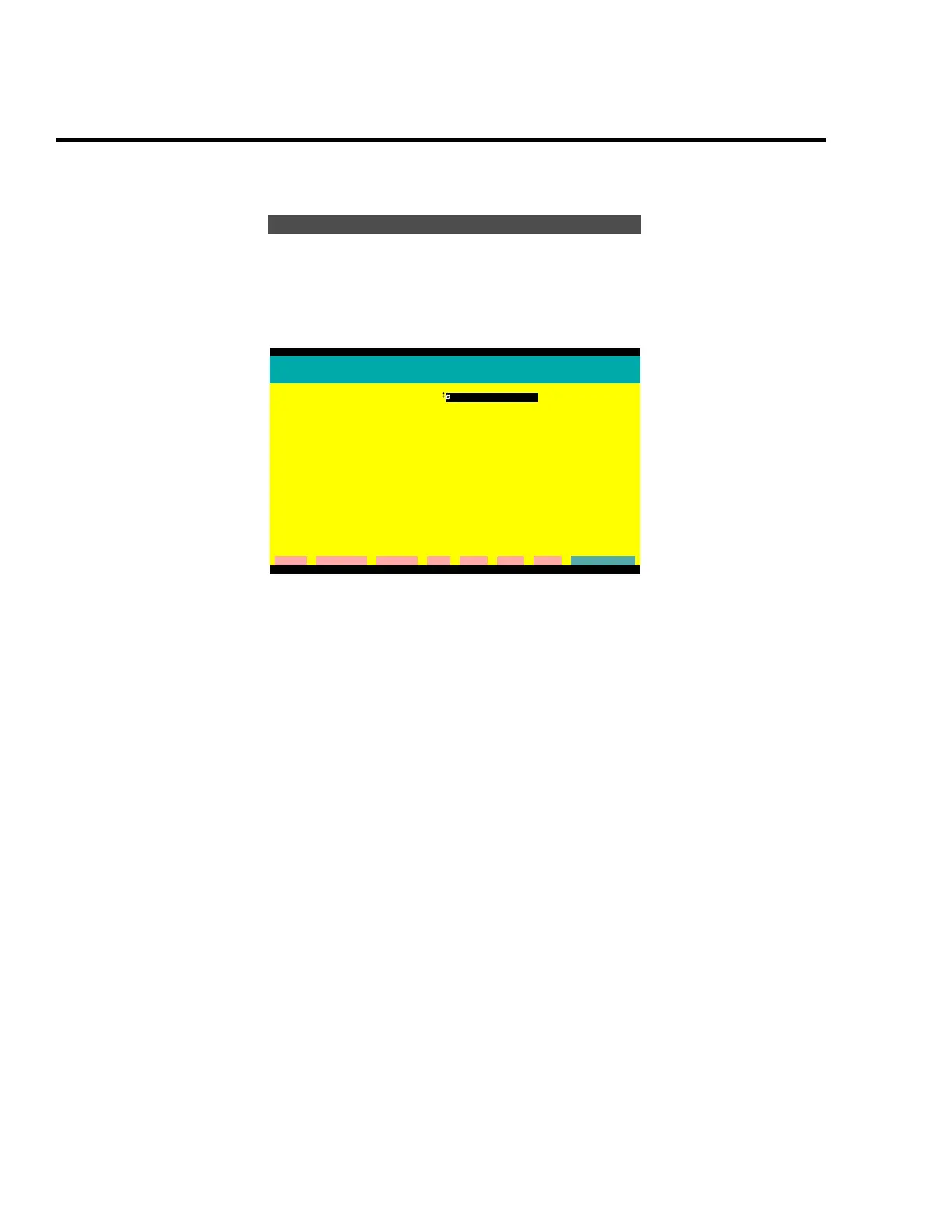
Figure C-16 The options for the map surround
Map frame
The following two options control how the surround of the data area
will appear.
1. Plot a map frame
You have three choices: a single, double or no line surrounding the
data area.
2. Frame to fit
There are two choices:
“sheet size” will always draw the frame around the outside edge of
the printer page regardless of how the data fit on the page.This will
always produce same size plots on the same printer.
“data plus margins” will adjust the size of the frame to the size of the
data, which will always be the same or smaller than the printer
page.
Map surround options
ENVIMAP Version 3.02.00
Map surround graphics details
Plot a map frame:
single line
Frame to fit: sheet size
----------------------------------------------------------------------------
Show scale bar? YES
ground units: meters
locate relative to map: bottom left
X offset (cm): 3.5
Y offset (cm): 1.5
----------------------------------------------------------------------------
Show North arrow? YES
North direction (CW from +Y): 0.0
magnetic inclination:
magnetic declination:
locate relative to map: bottom right
X offset (cm): -2.0
Y offset (cm): 1.5
cleaR clear All Command Dos Help List eXit Go
G:\ENVIMAP
 Loading...