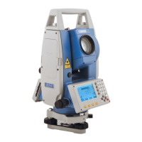
STONEX R2
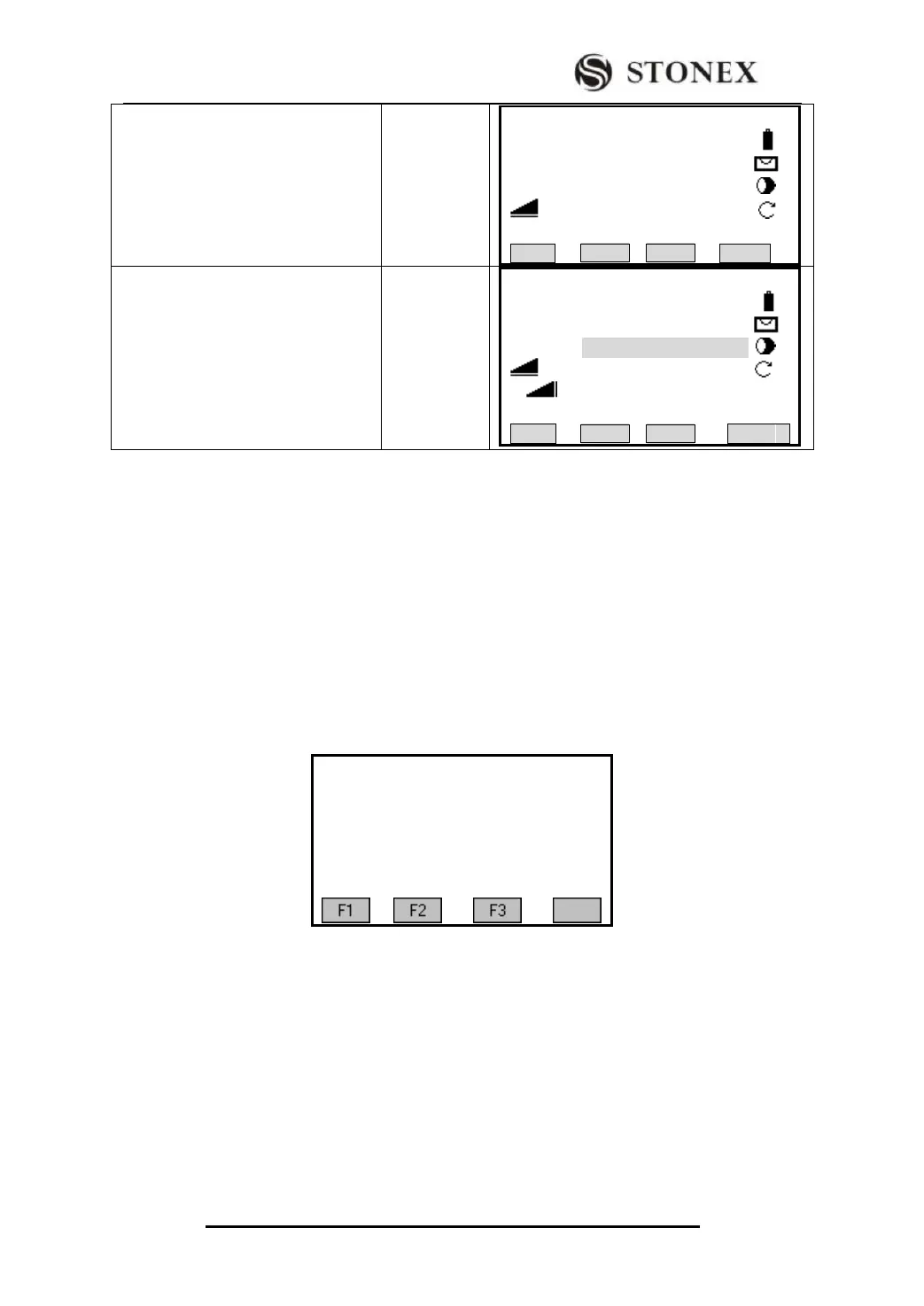
⑥Aim at the ground point (base point)
where the prism is set, and press [F4]
(V-ANG). The base point is set up.
Aim at the
top of the
prism
+
[F4]
【Base Point】
Sight Meas Base Pt!
BasePt: 10
R.HT : 0.000 m
: 1.968 m
V: 92°05′52″ Ⅰ
BACK V-ANG
⑦ Aim at the target point (remote
height point) to view the result.
【Remote Point】
Sight Meas REM Pt!
BasePt : 10
RemPt: 11
: 1.969 m
△ : 1.144 m Ⅰ
H : 2.014 m
BasePt SAVE
The related soft keys in hanging-height measurement:
[F1]([BasePt]): Input and measurement of a new base point.
[F4]([SAVE]): Saves the measured data.
5.12 ROAD
This program enables you to easily define a line or curve or spiral as a reference for
measurements and stake outs. It supports chainages, as well as incremental stake-outs and
offsets.
Before starting road design and stake-out, user should set job, station, and orientation
first.
5.12.1 Define HZ Alignment
There are two methods to define HZ Alignment:
One is to define HZ Alignment via Line, Arc or Sprial;
The other is to define HZ Alignment via points.
When using Line, Arc or Sprial to define HZ Alignment, the second method is restricted;
similarly, when using points to define HZ Alignment, the first method is restricted. The
two methods can‟t mix.
【Roads】
F1 Define HZ Alignment F1
F2 Define VT Alignment F2
F3 Stake Out Roads F3