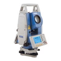
STONEX R2
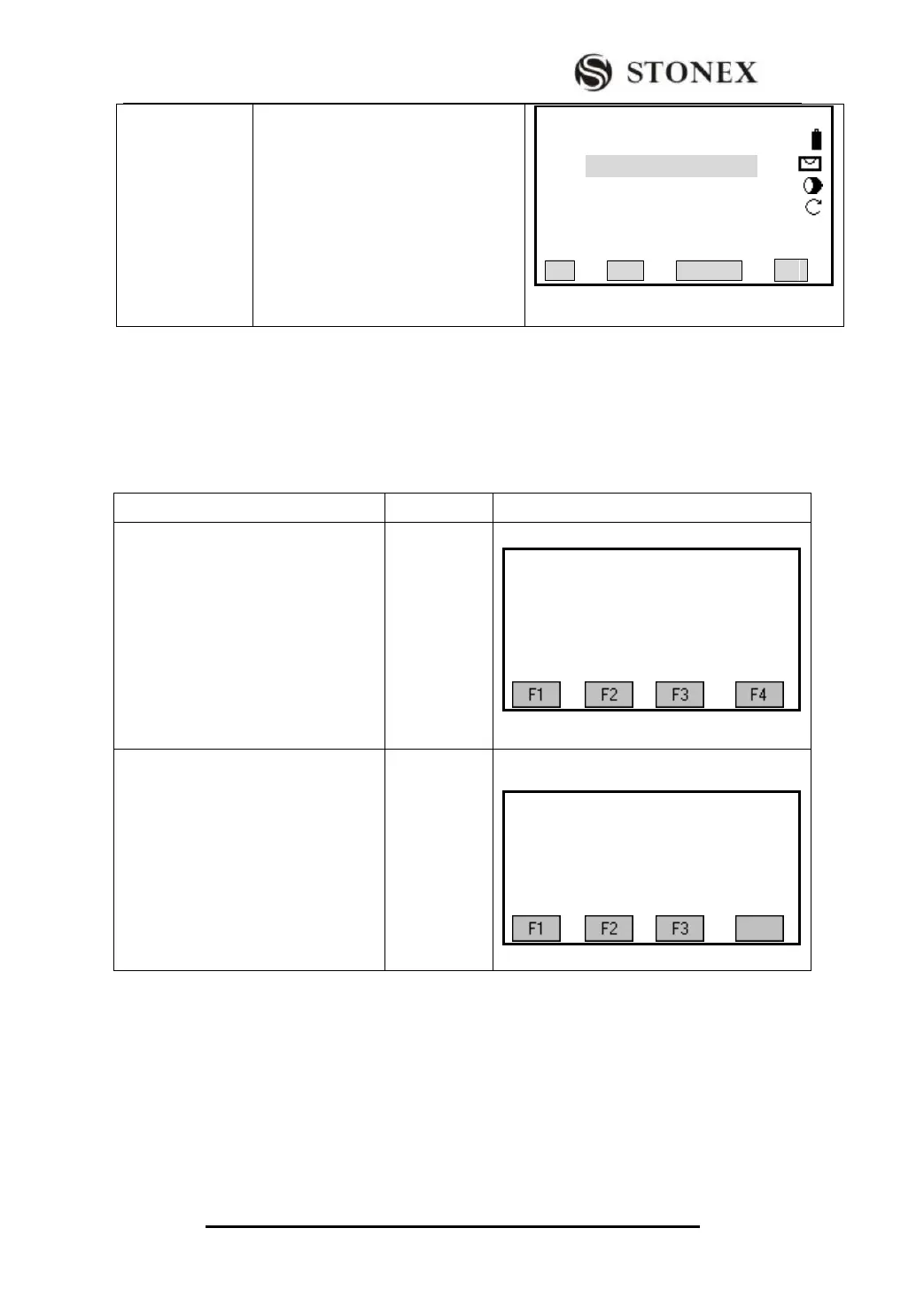
Coordinate Offset
Stake- Out
△ X/△ N: X coordinate offset between
stake-out point and the present
measurement point.
△ Y/△ E:Y coordinate offset between
stake-out point and the present
measurement point.
【Alignment S-O】3/3 ▲
PtID: C100+0.0
R.Ht: 2.000 m
△X/N : 89.212 m
△Y/E : 92.369 m
△H : ---.--- m Ⅰ
All DIST RECORD ↓
Press [PAGE] to switch among the three stake-out mode.
Here, take Polar Stake-Out as an example to introduce the operation steps of alignment
stake-out in detail. For more information about other methods of stake-out, please refer to
“5.6 STAKE OUT”.
OPERATIONAL STEPS: (Take points on the central line for example.)
①Set job, station and orientation first,
then in Road menu, press [F4] to enter
into Road function.
【Roads】
[ * ] F1 Setting Job (1)
[ * ] F2 Setting Station (2)
[ * ] F3 Set Orientation (3)
F4 Start (4)
② Define horizontal alignment and
vertical alignment (as required to
compute fill/dig). Press [F3] to start
Stake Out Roads program.
【Roads】
F1 Define HZ Alignment
F2 Define VT Alignment
F3 Stake Out Roads