Advancedtab
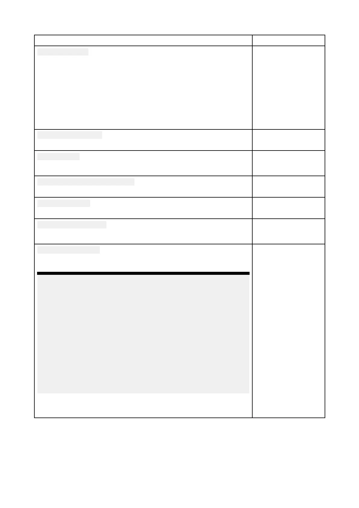
MenuitemanddescriptionOptions
Chartorientation
North-up
InNorth-upthetopofthescreenalwayspointstowardsnorth.Asyour
vessel’
sheadingchanges,thevesseliconrotatesaccordingly.
Head-up
InHead-upthetopofthescreenalwayspointstowardsyourvessel’s
currentheading,andasyourheadingchangesthechartrotates
accordingly.
Course-up
InCourse-upthetopofthescreenalwayspointstowardsyourdestination,
andasyourdestinationchangesthechartrotatesaccordingly.
•North-up
•Head-up
•Course-up
EnhancedAIStargets
S witchesbetweenusingstandardandenhancedAIStargets.
•On
•Off
A utofindship
WhenenabledtheChartappwillautomaticallycentertoyourvesselafter
30seconds.
•On
•Off
UseR adarwithoutheadingdata
EnablesuseofRadaroverlaywithoutHeadingdata.
•On
•Off
Cursorinfobo xes
Allowsdisplayofinformationpop-upsfortargetsandobjects.
•On
•Off
Tideanimationinterval
AllowsyoutoselectthetimeintervalusedfortheTideandCurrent
animationsinTidesmode .
•15minutesto2hours
in15minutesteps.
Cartographicobjects
Enablesanddisablesthedisplayofcartographicobjects.Thesettings
availablearedependentonthecartographyinuse .
Note:
•(1)A vailableonNavionics®,C-MAP®andLegacyLightHouse™charts.
•(2)Availableonallcharts.
•(3)AvailableonNavionics®,C-MAP®,LegacyLightHouse™and
LightHouse™charts.
•(4)AvailableonNavionics®,C-MAP®,LegacyLightHouse™,
LightHouse™andS–63charts.
•(5)AvailableonNavionics®andC-MAP®charts.
•(6)Thissettingisalwaysavailableandnotdependentonthe
cartographyinuse.
•(7)AvailableonNavionics®charts.
•(8)AvailableonS–63EncryptedCharts
•Navigationmarks(1)
•Navigationmark
symbols(1)
•Rocks(2)
•Lightsectors(1)
•Routingsystems(3)
•Cautionareas(1)
•Marinefeatures(3)
•Landfeatures(4)
•Businessservices(5)
•Panoramicphotos
(5)
•Roads(6)
•Coloredseabed
areas(7)
•Buoynames(8)
•Lightdesc(8)
204
 Loading...
