Navigation Tools ECDIS-E User Guide
5-40 65934012
Predicted path is drawn to a maximum vector time of six minutes. The
predicted path is decreased from its maximum length if the vector time is
decreased below six minutes.
If the system is in water stabilised mode the predicted path continues to
follow the ground stabilised vector path.
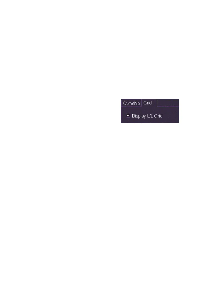
Grid
A latitude/longitude (L/L) grid can be displayed on the chart window. The
L/L grid values are taken from the latest valid position of own ship's CCRP,
as reported by the Position sensor.
The L/L grid is only displayed when the presentation mode is N-UP. The
grid is removed from the display if the presentation mode is changed to H-
UP or C-UP.
The grid display will vary between two latitude
and three longitude lines, and four latitude and
four longitude lines, based on the selected
range scale.
The L/L grid will not be displayed when the
chart orientation is 45° to 135° and from 225° to 315°.
To turn the grid on or off tick the Display L/L Grid check box.