Figure 113 – User Waypoint Icon Examples
Cities
SkyView displays cities and towns on the map. Their prominence on the map is determined by
population.
Figure 114 – Places on Moving Map
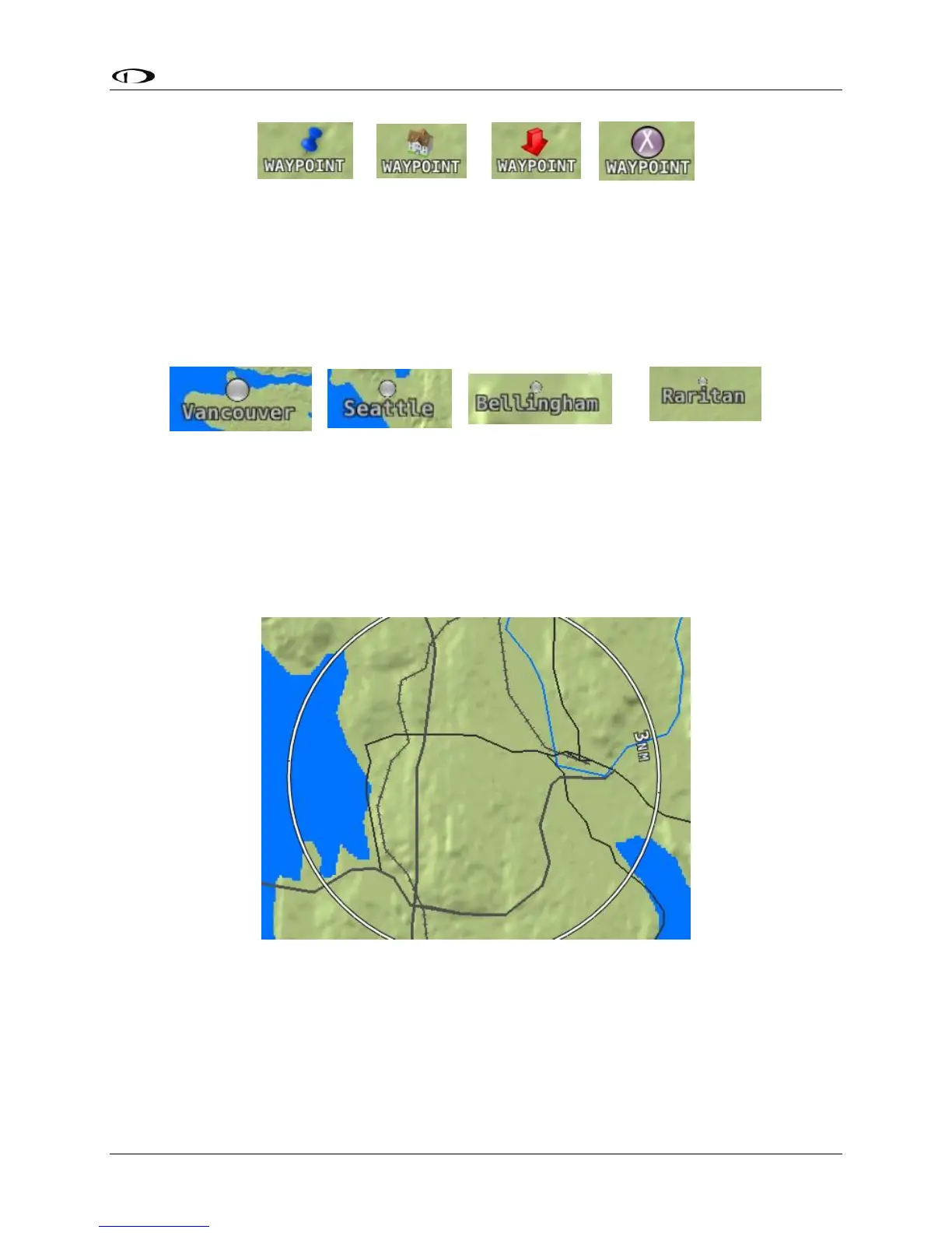
Motorways, Primary Roads, Railroads, and Rivers
SkyView displays motorways as thick solid black lines, primary roads as thinner solid black lines,
railroads as thin dark lines with railroad “ties”, and rivers as thin blue lines:
Figure 115 – Roads, Railroads, and Rivers