Although weather and TFR information are available any time the SV-ADSB-470/472
is in an ADS-B ground station coverage area, ADS-B TIS-B traffic is only available if
an ADS-B Out capable transponder is installed and is providing ADS-B out position
reports into the ADS-B system. Currently, these are limited to the Dynon Avionics
SV-XPNDR-261/262 and the Garmin GTX-330ES.
Useful information about the ADS-B traffic and weather systems can be found in
the FAA AIM: http://www.faa.gov/air_traffic/publications/ATPubs/AIM/aim.pdf
For updated coverage maps see the FAA’s website:
http://www.faa.gov/nextgen/implementation/programs/adsb/
Traffic Target Information
Figure 119 – Traffic Target
Traffic is displayed using a set of symbols that are commonly used in aviation for traffic/TCAS
systems. As seen in Figure 119, this includes:
• A symbol that depicts the type of traffic. It can be a Traffic Advisory Symbol, Proximity
Advisory Symbol, or Non-Threat Symbol. These are further discussed later in this
section. Data being received by a TIS device, such as the SV-XPNDR-261/262, is limited
to 8 simultaneous targets by the inherent capability of the TIS system. If there are more
than 8 traffic targets that are potential threats, the TIS ground station determines the
highest priority targets and transmits them to your aircraft.
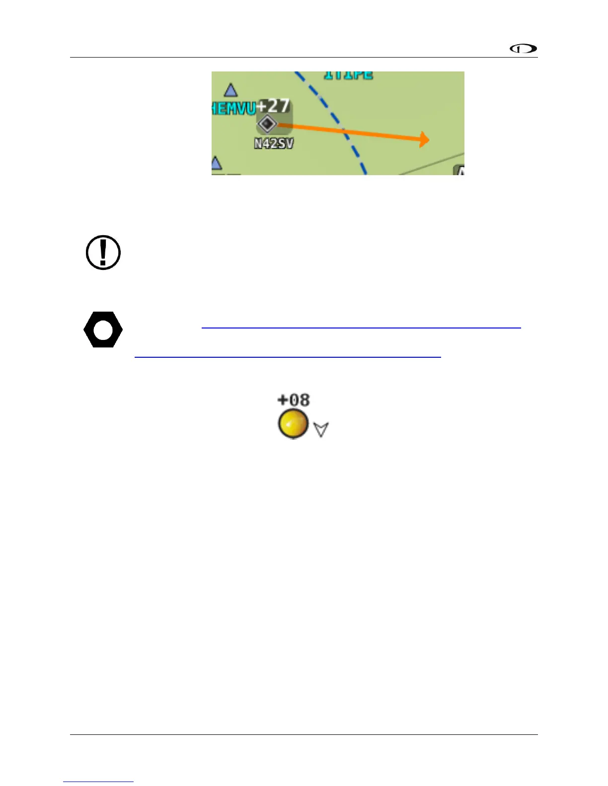
• Relative altitude in hundreds of feet is displayed above the symbol as a signed integer.
So, the target in Figure 119 is +08, or 800 feet higher than our aircraft. This area is blank
if the altitude of a target is not known.
• An up or down arrow to the right of the traffic symbol indicating whether the aircraft is
climbing or descending, if available from the traffic source. No arrow is shown when an
aircraft is maintaining altitude, or if climb/descend information is not available. Traffic