MAP and VFR GPS Navigator Operation
SkyView HDX Pilot’s User Guide – Revision B 5-11
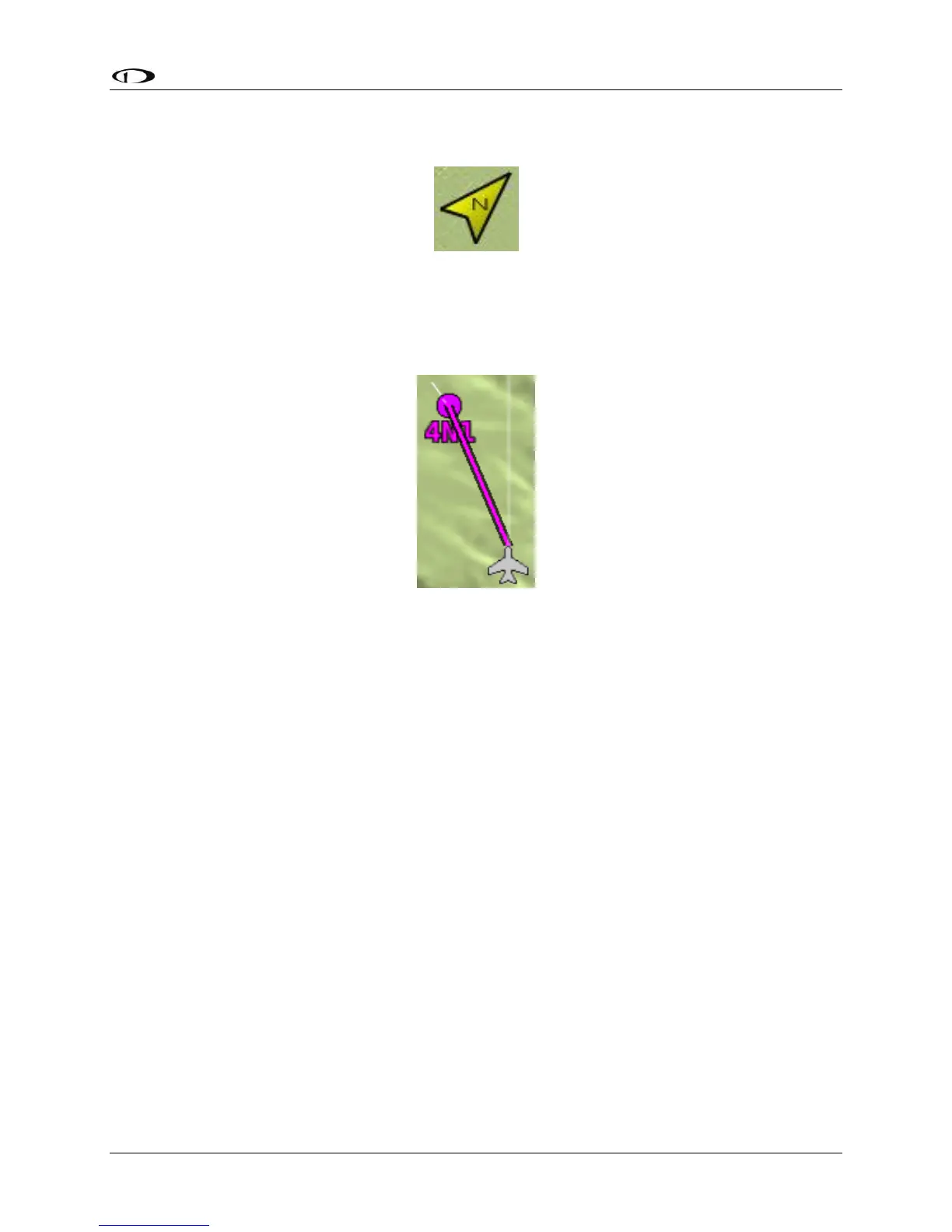
The north marker as shown in Figure 101 is represented with a yellow arrow marked with an
“N” and points to True North.
Figure 101 – North Marker
The magenta course line shown in Figure 102 appears whenever the Moving Map is navigating
to an active waypoint. It is the shortest path between the two points that it connects on the
map.
Figure 102 – Course Line
Flight Plan Legs
Flight plan legs appear in the Moving Map display whenever a flight plan has been activated.
The magenta line corresponds to the current leg of the Flight Plan and subsequent legs are
shown in white. Legs prior to the current leg are not shown. See the Flight Planning section of
this guide for more information about creating and working with flight plans.